


Diese an den Jacobsweg angelehnte Tour startet in Prad am Stilfserjoch.
Unser Ziel war es, auf schönen Höhen- und Waalwegen Meran zu Fuß zu erreichen.
Der Rucksack war für drei Tage gepackt und los ging es.
Über Tschengels, durch ein aufgegebenes Militärgebiet führte unser erstes Ziel nach Laas. Nach dem Frühstück querten wir das Tal nach Allitz.
Übernachtet haben wir in Hotel Bauhof. Der Name passt sicherlich nicht zu dem tollen Ambiente das das Hotel bietet. Tolles Essen, tolle Regnerationsmöglichkeiten (Whirlpool, Sauna...) nette Leute.
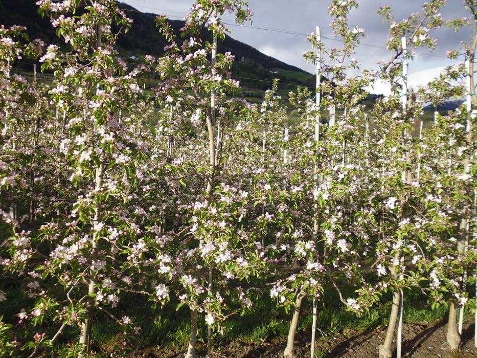
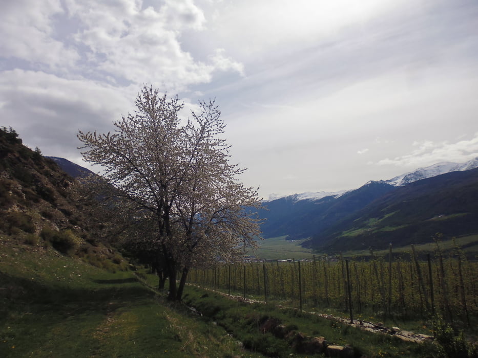
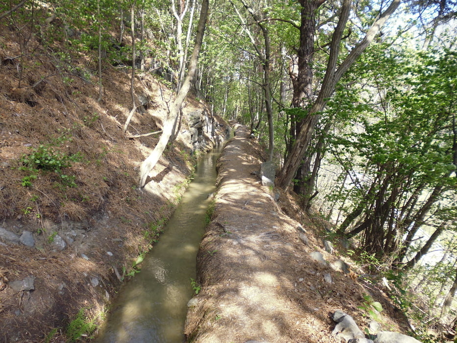
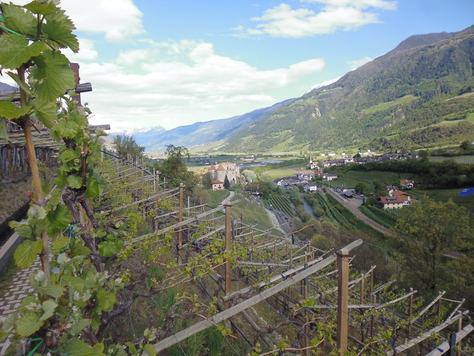
Tour gallery
Tour map and elevation profile
Minimum height 583 m
Maximum height 1103 m
More about the tour author
|
|
volker67 |
Comments

GPS tracks
Trackpoints-
GPX / Garmin Map Source (gpx) download
-
TCX / Garmin Training Center® (tcx) download
-
CRS / Garmin Training Center® (crs) download
-
Google Earth (kml) download
-
G7ToWin (g7t) download
-
TTQV (trk) download
-
Overlay (ovl) download
-
Fugawi (txt) download
-
Kompass (DAV) Track (tk) download
-
Track data sheet (pdf) download
-
Original file of the author (gpx) download
More about the tour author
|
|
volker67 |
Add to my favorites
Remove from my favorites
Edit tags
Open track
My score
Rate