


Wanderung vom Campingplatz in Bad Rakersburg über die Brücke nach Gornja Radgona / Slovenien.
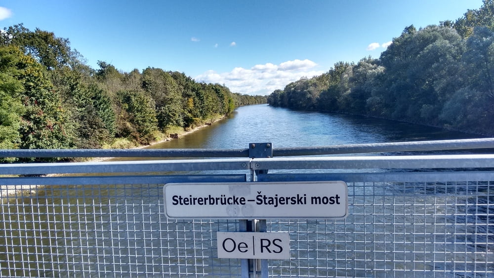
Den Radweg entlang Flußaufwärts (gegenwärts) bis zur Steirerbrücke (Rad-Hängebrücke) von hier Flußabwärts (nauwärts) zurück zum Ausgangsort.
Achtung: Vom km 13,5 bis km 16 wurde ein Umweg gemacht weil wegen Unachtsamkeit der Weg am Murufer nicht gefunden wurde, der Weg existiert aber, bitte genau schauen!
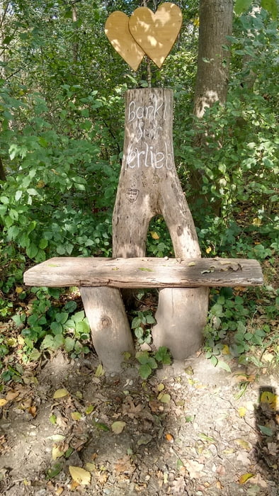
Herrliche Au Landschaft und gute Wegbeschaffenheit.
Im slov. Teil teilweise Asphalt
Tour gallery

Tour map and elevation profile
Minimum height 208 m
Maximum height 235 m
More about the tour author

|
Hatscher2 |
Comments

GPS tracks
Trackpoints-
GPX / Garmin Map Source (gpx) download
-
TCX / Garmin Training Center® (tcx) download
-
CRS / Garmin Training Center® (crs) download
-
Google Earth (kml) download
-
G7ToWin (g7t) download
-
TTQV (trk) download
-
Overlay (ovl) download
-
Fugawi (txt) download
-
Kompass (DAV) Track (tk) download
-
Track data sheet (pdf) download
-
Original file of the author (gpx) download
More about the tour author
|
|
Hatscher2 |
Add to my favorites
Remove from my favorites
Edit tags
Open track
My score
Rate