
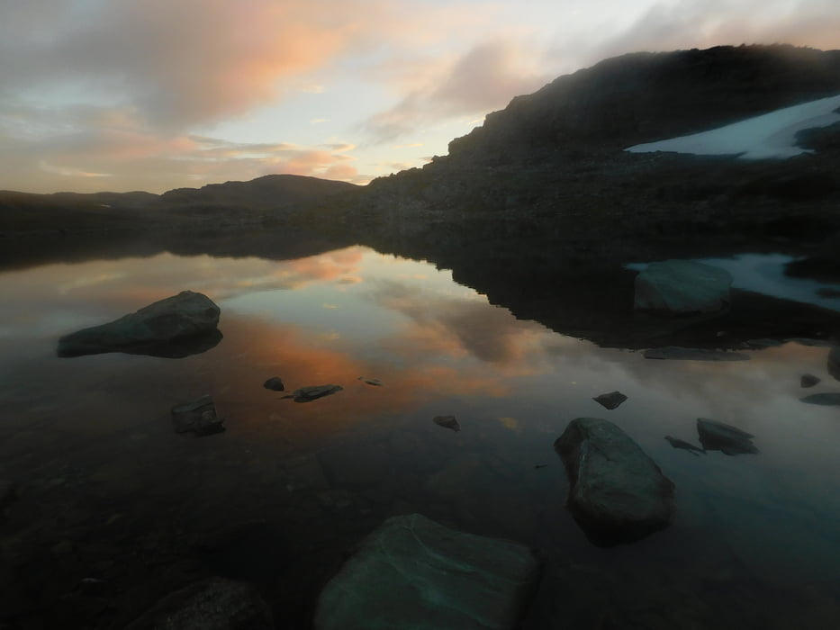

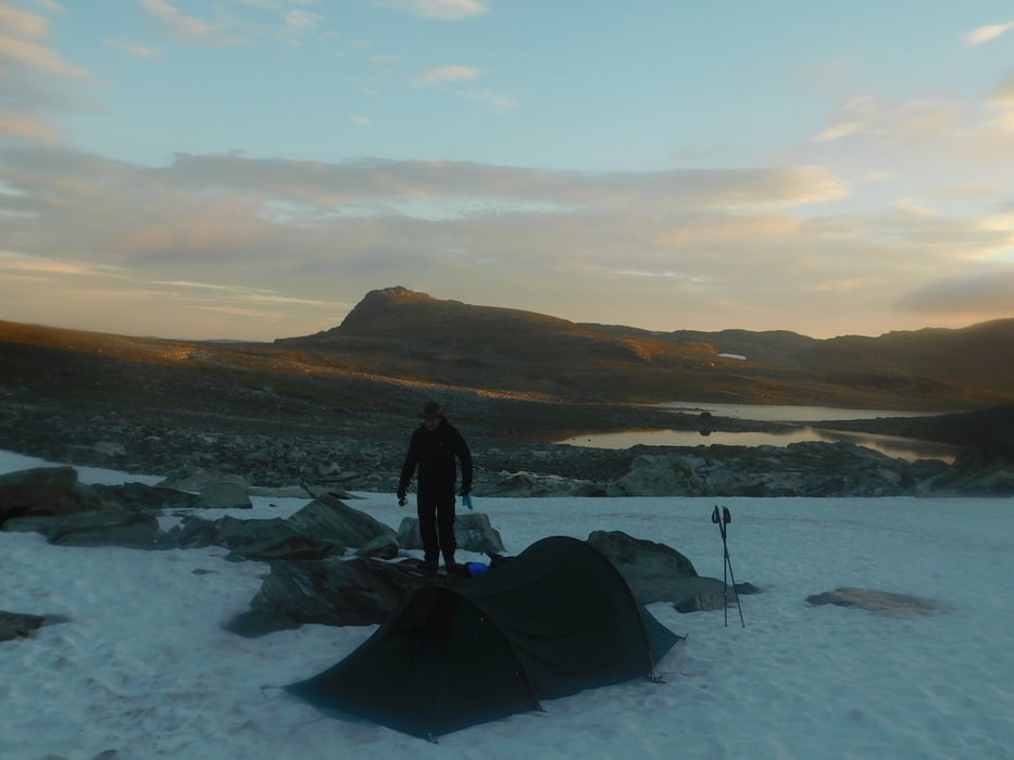
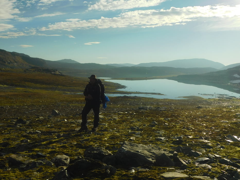
Start und Ziel ist Østerbø Fjellstove eine Fjellstation mit Camping Hütten und Restaurant. Ab da geht es ca. 800-900 Höhenmeter hoch zum Gletscher, der bietet sich zum übernachten an (die Heringe lassen sich im Schnee besser befestigen als im Steinboden). Am nächsten Tag geht es über eine Hochebene und dann hinunter auf fast Meereshöhe (von 1680 auf 50). Außerhalb von Vassbygdi ist ein schöner Platz für zwei Zelte mit Feuerstelle (da wird scharf geschossen, aber nur auf Volvos). Am dritten Tag führt der Weg durchs Aurdal wieder nach Østerbø. Die Tour umgekehrt zu laufen empfiehlt sich nur für ganz Harte ;) (Tag 2 wäre echter Sport)
Viel Spaß.
Tour gallery

Tour map and elevation profile
Minimum height 99999 m
Maximum height -99999 m
More about the tour author
|
|
berndhuber |
Comments

Von Oslo 340 km auf der E16
GPS tracks
Trackpoints-
GPX / Garmin Map Source (gpx) download
-
TCX / Garmin Training Center® (tcx) download
-
CRS / Garmin Training Center® (crs) download
-
Google Earth (kml) download
-
G7ToWin (g7t) download
-
TTQV (trk) download
-
Overlay (ovl) download
-
Fugawi (txt) download
-
Kompass (DAV) Track (tk) download
-
Track data sheet (pdf) download
-
Original file of the author (gpx) download
More about the tour author
|
|
berndhuber |
Add to my favorites
Remove from my favorites
Edit tags
Open track
My score
Rate