


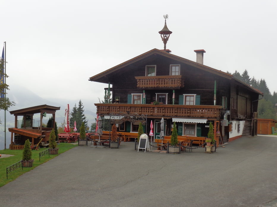
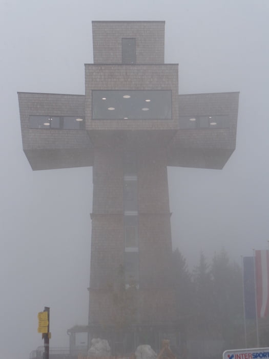
Vom Dorfzentrum zum Feuerwehrhaus. Links über die Brücke und hinauf nach Schönau-Pertrach. Auf der Straße Richtung Tennalm (Kehren können abgekürzt werden). Von der Tennalm auf dem Steig zuletzt etwas steiler zum Gipfelkreuz der Buchensteinwand. Ein paar Schritte später ist das begehbare Jakobskreuz mit großartiger Fernsicht.
Mit der Sesselbahn hinunter nach St. Jakob. Auf dem Panoramaweg zurück nach Fieberbrunn.
Further information at
https://www.kitzbueheler-alpen.com/de/pillerseetal/urlaub-skifahren-langlaufen.htmlTour gallery
Tour map and elevation profile
Minimum height 765 m
Maximum height 1474 m
More about the tour author

|
JoHangler |
Comments

Von St. Johann in Tirol oder Saalfelden nach Fieberbrunn.
Aus Richtung Salzburg von Lofer nach Waidring und durch das Pillerseetal nach Fieberbrunn.
GPS tracks
Trackpoints-
GPX / Garmin Map Source (gpx) download
-
TCX / Garmin Training Center® (tcx) download
-
CRS / Garmin Training Center® (crs) download
-
Google Earth (kml) download
-
G7ToWin (g7t) download
-
TTQV (trk) download
-
Overlay (ovl) download
-
Fugawi (txt) download
-
Kompass (DAV) Track (tk) download
-
Track data sheet (pdf) download
-
Original file of the author (gpx) download
More about the tour author
|
|
JoHangler |
Add to my favorites
Remove from my favorites
Edit tags
Open track
My score
Rate