


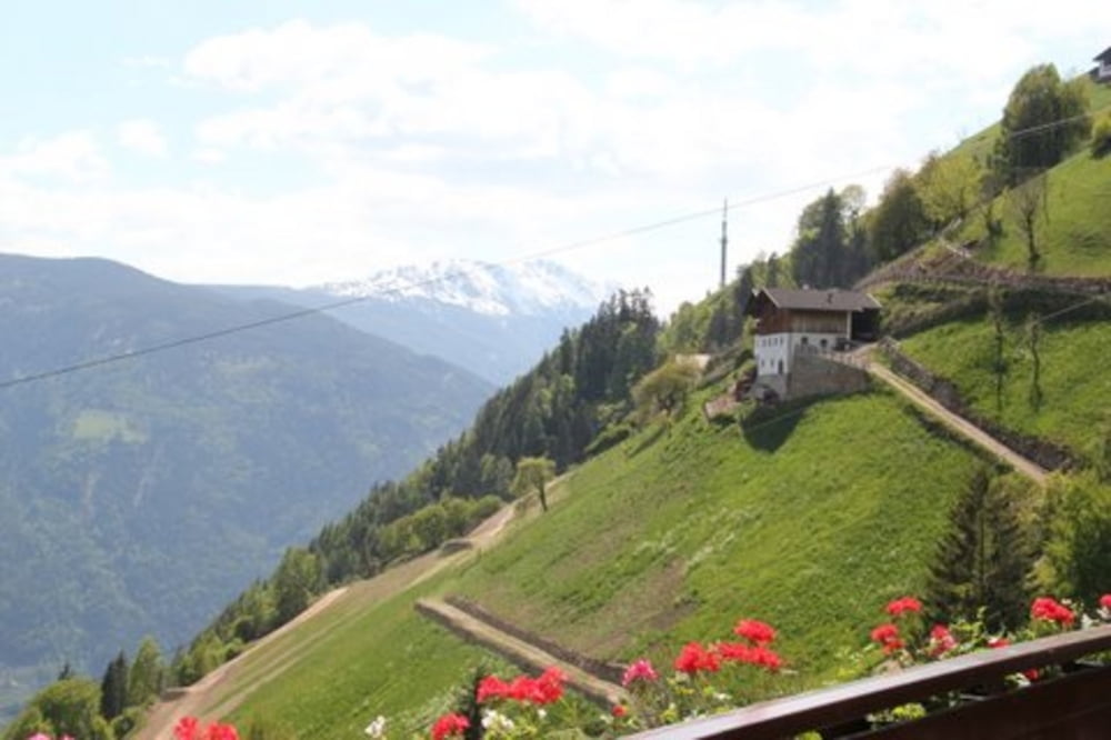
vom Zentrum von Meran aus startend Richtung Vinschgauer Tor bis nach Gratsch, dann mäßig ansteigend (*)
auf kaum befahrener Straße bis Schloss Thurnstein. Dort in Richtung Tirol am Schloss Tirol vorbei bis zum Tiroler Kreuz. Dort beginnt eine Forststraße (Schotter), die uns steil etwa 4km zum Talbauer bringt, wo man ausgezeichnet essen kann. Der Weg retour führt auf der selben Straße, wo man alternativ nach dem Tiroler Kreuz links abbiegend in Richtung Riffian fährt. Dort auf den Passerweg (Radweg - teilweise Schotter)) entlang des Flusses bis Meran.
(*) Achtung in der Zwischenzeit zeitlich nur begrenzt (17 bis 9 Uhr) befahrbar. Um dem Risiko auszustellen, von der Ortspolizei am Dorfeingang erwartet :-) zu werden bzw, schieben zu müssen, biegen wir gleich nach dem Beginn des Tappeinerweges, beim Hotel Thurnergut rechts ab auf den Gnaidweg, der uns ebenfalls nach Dorf Tirol führt.
Further information at
http://www.talbauer.it/de/information/index.aspTour gallery


Tour map and elevation profile
Minimum height 313 m
Maximum height 29999 m
More about the tour author

|
Bluetooth |
Comments
GPS tracks
Trackpoints-
GPX / Garmin Map Source (gpx) download
-
TCX / Garmin Training Center® (tcx) download
-
CRS / Garmin Training Center® (crs) download
-
Google Earth (kml) download
-
G7ToWin (g7t) download
-
TTQV (trk) download
-
Overlay (ovl) download
-
Fugawi (txt) download
-
Kompass (DAV) Track (tk) download
-
Track data sheet (pdf) download
-
Original file of the author (gpx) download
More about the tour author
|
|
Bluetooth |
Add to my favorites
Remove from my favorites
Edit tags
Open track
My score
Rate
Super Tour für Chariot Anhänger
Und ganz klar Super Apfelstrudel......
Viele Grüße
the Watzman