


Endurorunde im Hinterland von Loano/Toirano.
Von Loano über Verzi zum Giggio di Gustenice. Dann ca. 100hm schieben auf das Plateu unterhalb des Mt. Carmo (ausgelassen, sind noch 60hm). Auf Trail zum Giggio di Toirana, weitgehend nicht auf AV Weg. S2 Niveau.
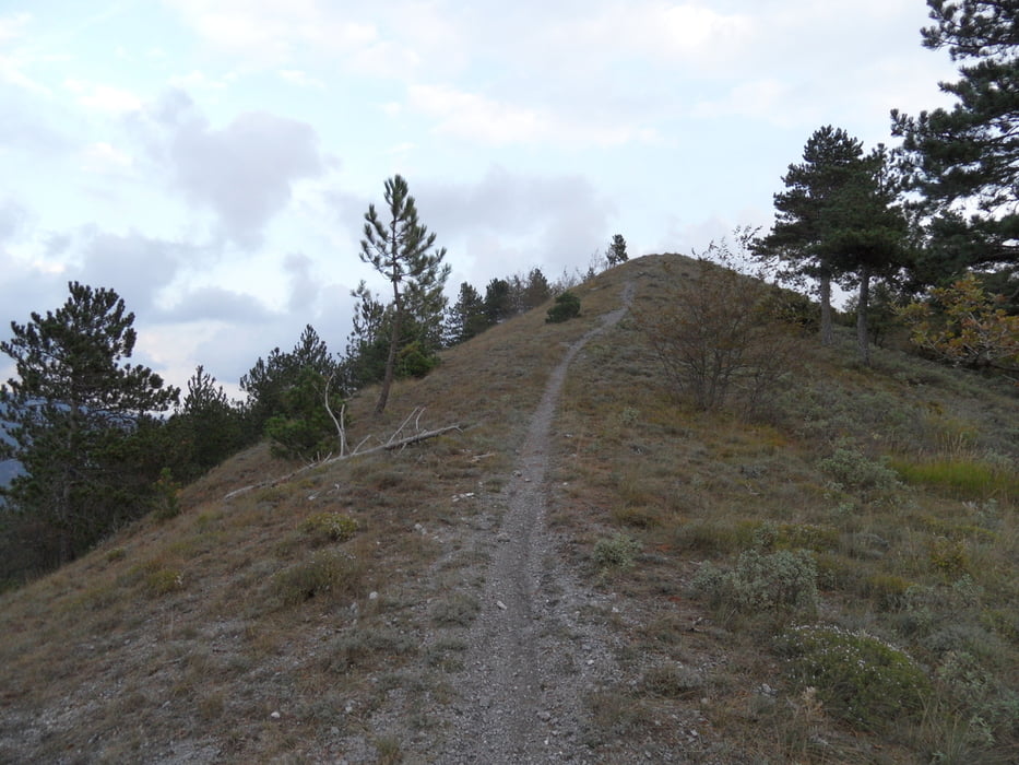
Hinauf Richtung Rocca die Barbena, schöner Trail S1-S2 zum Pass am COLLE SCRAVAION 814M.
Bin dann auf Strasse / Güterweg einige Kilometer Richtung Toirano. Dann noch ein Trail mit kurzer Schiebepassage zum Poggio Dell'Arpe 614m. Dann auf TA S2-S3 nach Toirana.
Mir gefällt diese Runde ganz gut, nicht zu schwer und einiges an schönen Strecken.
Tour gallery

Tour map and elevation profile
Minimum height 24 m
Maximum height 1313 m
More about the tour author
|
|
skyhopper |
Comments

GPS tracks
Trackpoints-
GPX / Garmin Map Source (gpx) download
-
TCX / Garmin Training Center® (tcx) download
-
CRS / Garmin Training Center® (crs) download
-
Google Earth (kml) download
-
G7ToWin (g7t) download
-
TTQV (trk) download
-
Overlay (ovl) download
-
Fugawi (txt) download
-
Kompass (DAV) Track (tk) download
-
Track data sheet (pdf) download
-
Original file of the author (gpx) download
More about the tour author
|
|
skyhopper |
Add to my favorites
Remove from my favorites
Edit tags
Open track
My score
Rate