


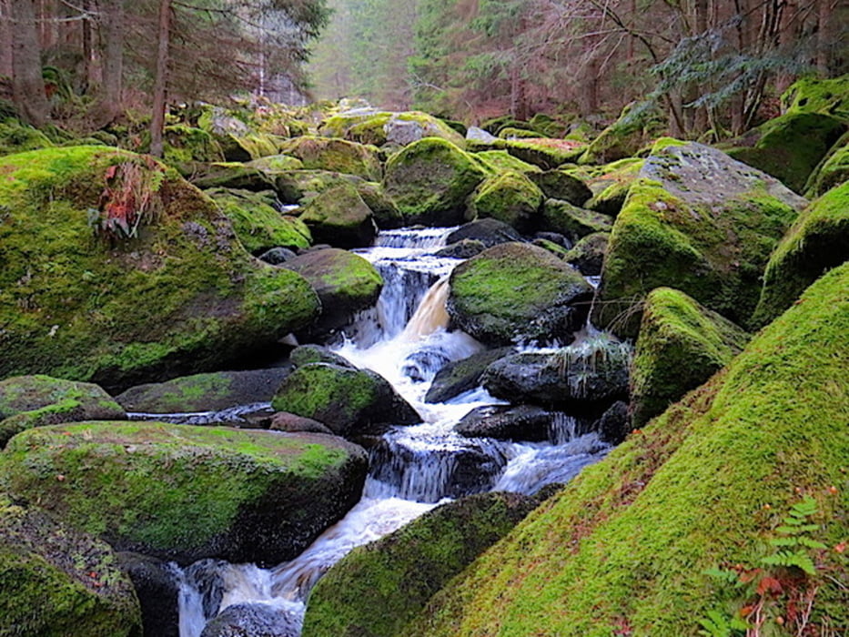
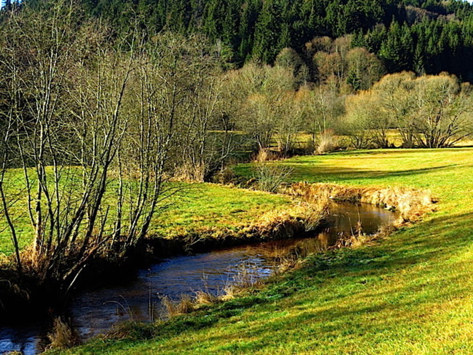
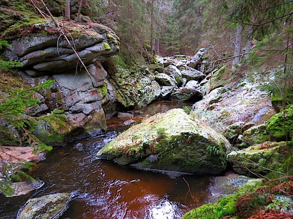
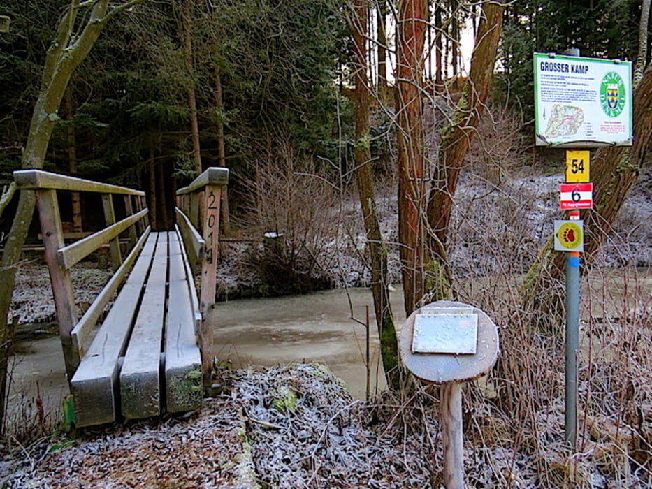
Wir sind am großen Bärentrail unterwegs und starten nach einer langen ersten Etappe nun in Arbesbach. Von Arbesbach geht es Richtung Hammermühle und durch den Höllfall bis südlich von Hausbach mit Blick ins Kamptal. Mangels geeigneter Wege verlassen wir nun kurz das Kamptal und wandern vorbei an Feuranz, überqueren die Landstraße und steigen hinauf in den Föhrenwald. Es geht durch die Große Schlucht am Kamp und weiter durch das Paradies nach Rappottenstein.
Mehr Info und Deine Meinung in meinem Wanderblog - schau doch mal vorbei!
Karten:
Austria Map Ost (BEV)
freytag & berndt 1:50.000, WK111, Zwettl - Gmünd - Nebelstein - Arbesbach
Further information at
http://www.zwalk.at/Tour gallery
Tour map and elevation profile
Minimum height 665 m
Maximum height 764 m
More about the tour author
|
|
Jonny |
Comments

Per Auto
• nördlich Waidhofen/Thaya Richtung Vitis, Zwettl und weiter Richtung Großgerungs. Kurz nach Merzenstein links nach Rappottenstein und weiter Richtung Arbesbach.
• westlich von Groß Gerungs Richtung Arbesbach.
• südlich Linz, Pregarten, Königswiesen, Arbesbach
GPS tracks
Trackpoints-
GPX / Garmin Map Source (gpx) download
-
TCX / Garmin Training Center® (tcx) download
-
CRS / Garmin Training Center® (crs) download
-
Google Earth (kml) download
-
G7ToWin (g7t) download
-
TTQV (trk) download
-
Overlay (ovl) download
-
Fugawi (txt) download
-
Kompass (DAV) Track (tk) download
-
Track data sheet (pdf) download
-
Original file of the author (gpx) download
More about the tour author
|
|
Jonny |
Add to my favorites
Remove from my favorites
Edit tags
Open track
My score
Rate