


Samstag 30.12.2016
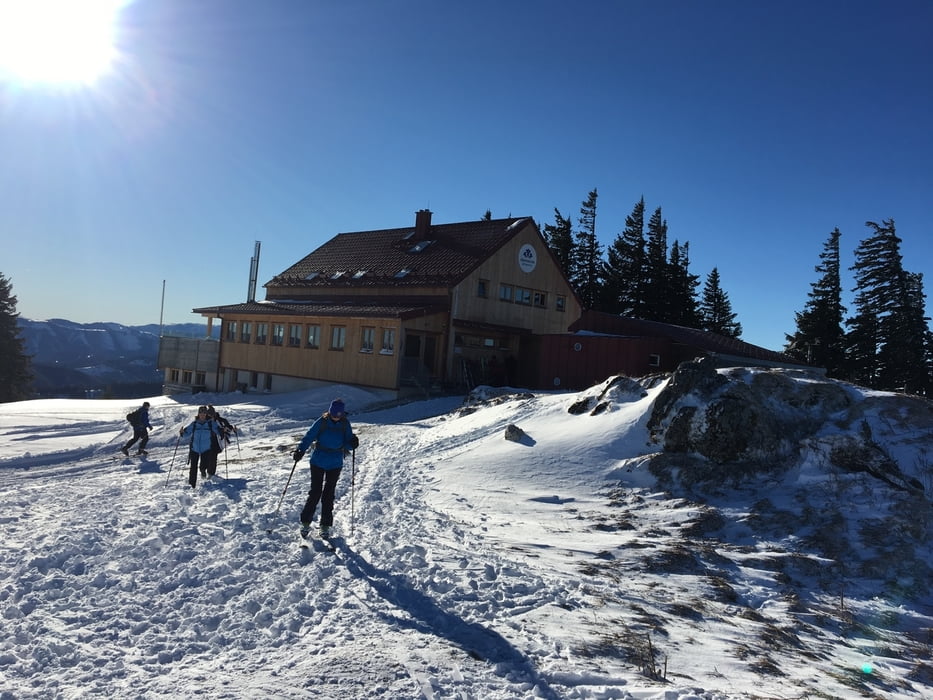
genügend schnee um am pfarrboden zu starten.
-7°C beim start am parkplatz der ex. reidllifte.
wir maschieren am direkten weg richtung annaberg, oben angekommen führt uns der weg an der kirche vorbei. die hauptstrasse überquert und nach dem hotel zur post auf der anderen staßenseite bis zum einstieg zur forststraße (622) hinuntergerutscht.
weiter zur postalm den 655 weg zum annaberg haus.
Further information at
https://www.facebook.com/annabergerhaus/Tour gallery
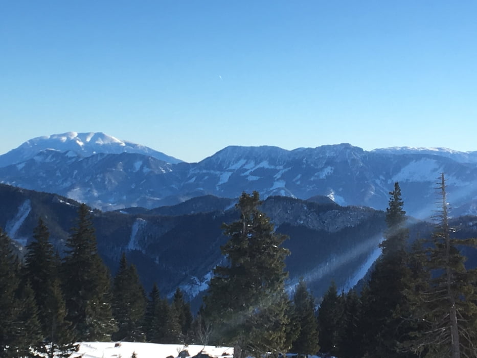
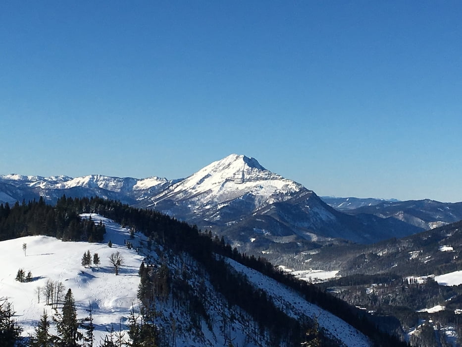
Tour map and elevation profile
Minimum height 589 m
Maximum height 1220 m
More about the tour author
|
|
der_Bergverfuehrer |
Comments

über a1 abfahrt st- pölten süd - traisental bundesstraße b20 - türnitz - in der ersten kurve zu annaberg auf Parkplatz rechts abbiegen
GPS tracks
Trackpoints-
GPX / Garmin Map Source (gpx) download
-
TCX / Garmin Training Center® (tcx) download
-
CRS / Garmin Training Center® (crs) download
-
Google Earth (kml) download
-
G7ToWin (g7t) download
-
TTQV (trk) download
-
Overlay (ovl) download
-
Fugawi (txt) download
-
Kompass (DAV) Track (tk) download
-
Track data sheet (pdf) download
-
Original file of the author (gpx) download
More about the tour author
|
|
der_Bergverfuehrer |
Add to my favorites
Remove from my favorites
Edit tags
Open track
My score
Rate