


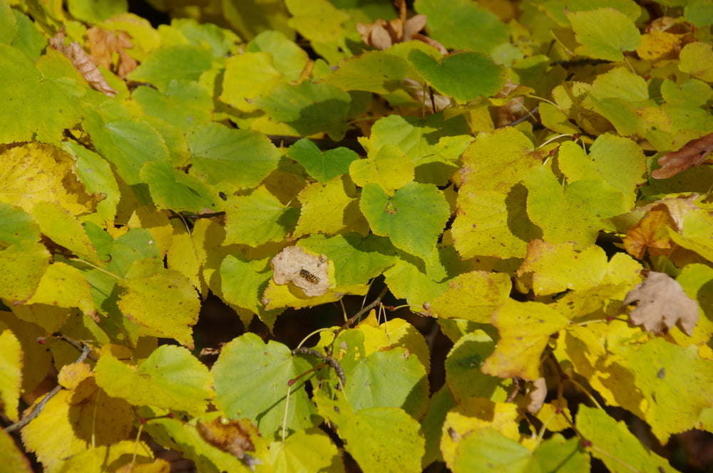
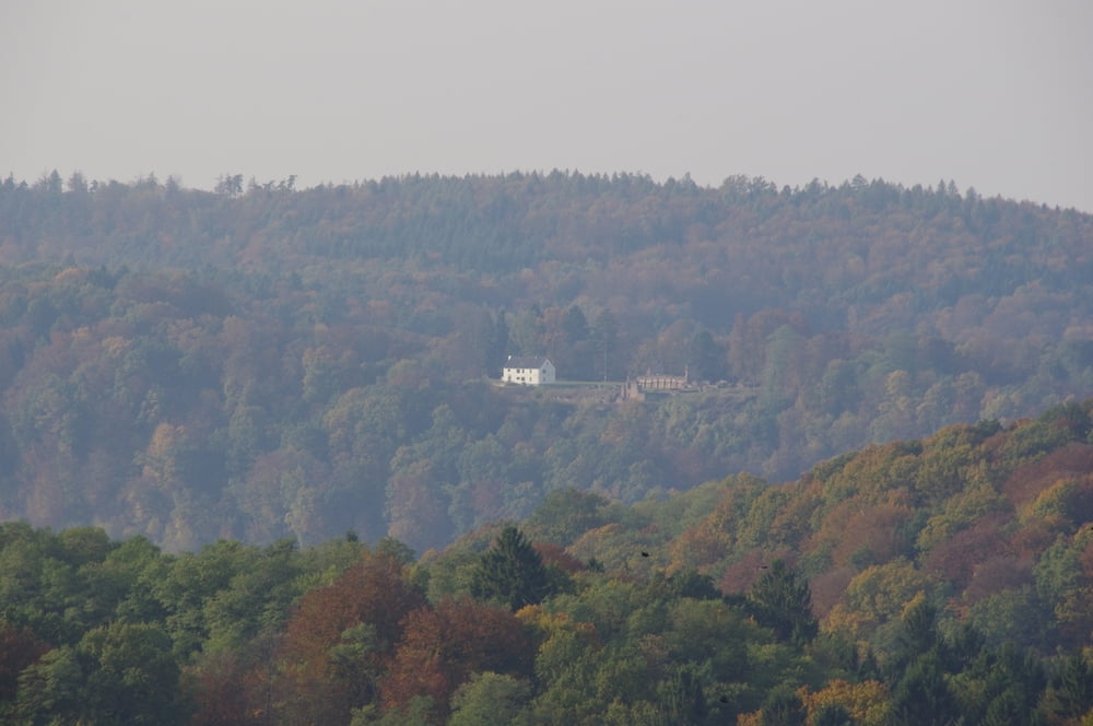
Ich wanderte an den nördlichen Ortsrand von Schwarzenbach um in dem Wald zwischen Homburg und dem Lambsbach nach Kirrberg zu wandern. Dabei passierte ich die Emilienruhe und erreichte Kirrberg um dort nach rechts auf die Höhe zwischen dem Lambsbach und Zweibrücken hochzugehen.
Ich erreichte über die Feldwege den Höhenweg und wandte mich darauf nach Westen um in Richtung Einöd und Schwarzenacker langsam abzusteigen.
Kurz darauf war ich wieder an meinem Ausgangspunkt angelangt.
Further information at
https://de.wikipedia.org/wiki/Saarpfalz-KreisTour gallery


Tour map and elevation profile
Minimum height 230 m
Maximum height 386 m
More about the tour author
|
|
Pheinz |
Comments

Start und Ziel in Homburg Schwarzenbach.
GPS tracks
Trackpoints-
GPX / Garmin Map Source (gpx) download
-
TCX / Garmin Training Center® (tcx) download
-
CRS / Garmin Training Center® (crs) download
-
Google Earth (kml) download
-
G7ToWin (g7t) download
-
TTQV (trk) download
-
Overlay (ovl) download
-
Fugawi (txt) download
-
Kompass (DAV) Track (tk) download
-
Track data sheet (pdf) download
-
Original file of the author (gpx) download
More about the tour author
|
|
Pheinz |
Add to my favorites
Remove from my favorites
Edit tags
Open track
My score
Rate