


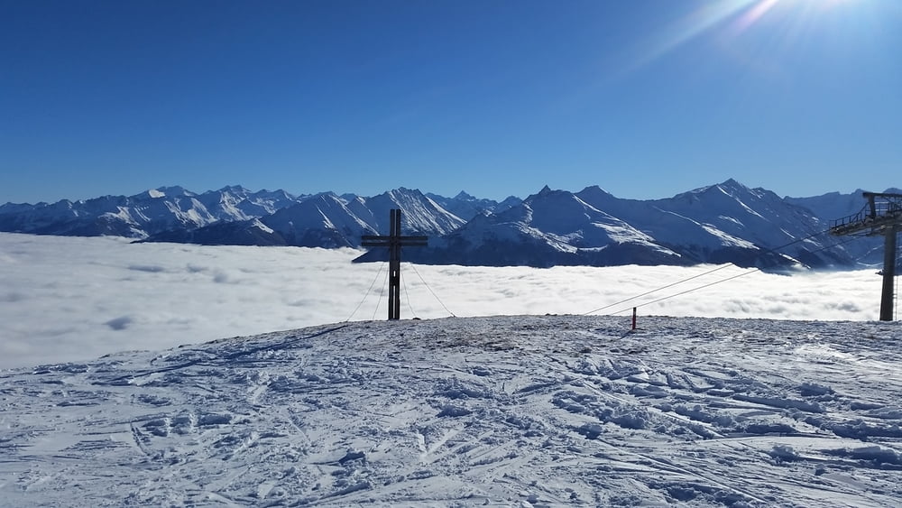
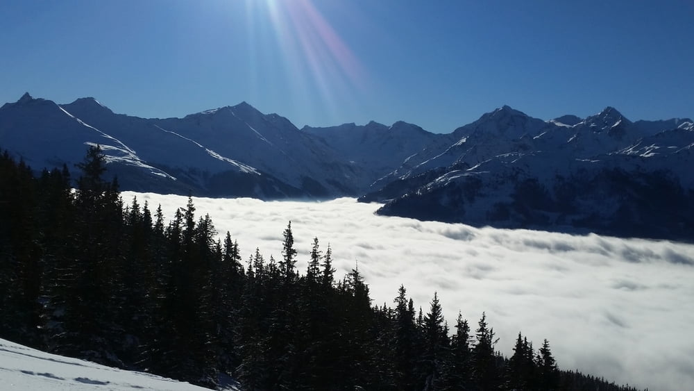
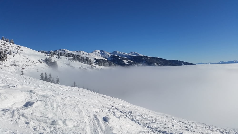
Wir starten ca. 200 Meter unterhalb der Passhöhe am Parkplatz der rechts neben der Bundesstraße 161 liegt. Wir nehmen den Forstweg durch die tief verschneite Winterlandschaft. Queren dabei die Piste 77 und die Panoramabahn. Nach ca. 1h 30min erreichen wir unser Ziel das Bergasthaus Pinzgablick wo wir eine überwältigende Aussicht auf die Tauern Gruppe haben.
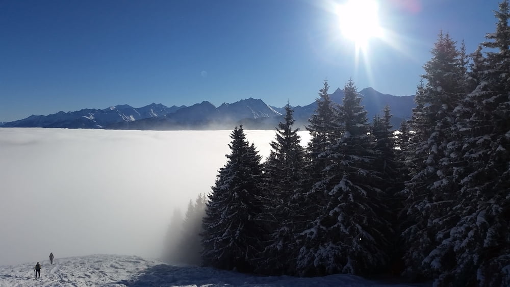
Zurück über die Piste 77 wo wir auf der linken Seite die Abzweigung zum Parkplatz achten.
Tour gallery
Tour map and elevation profile
Minimum height 1316 m
Maximum height 1946 m
More about the tour author
|
|
hetzenauerm |
Comments

GPS tracks
Trackpoints-
GPX / Garmin Map Source (gpx) download
-
TCX / Garmin Training Center® (tcx) download
-
CRS / Garmin Training Center® (crs) download
-
Google Earth (kml) download
-
G7ToWin (g7t) download
-
TTQV (trk) download
-
Overlay (ovl) download
-
Fugawi (txt) download
-
Kompass (DAV) Track (tk) download
-
Track data sheet (pdf) download
-
Original file of the author (gpx) download
More about the tour author
|
|
hetzenauerm |
Add to my favorites
Remove from my favorites
Edit tags
Open track
My score
Rate