Login

Forgot your login?

Cookies have to be accepted!
Your browser's cookie functionality is disabled. Please enable this functionality.

Not a member yet?

Register now
Login

Available for registred users only

Log in to use this feature.

Forgot your login?

Cookies have to be accepted!
Your browser's cookie functionality is disabled. Please enable this functionality.

Not a member yet?

Register now
Filter
Categories
Advanced filters
  • Distance (km)
  • Height
Save filters Reset filter

TrackRank

QRCode

Technical data

Distance56,3 km Height315 m Way down322 m Duration06:00 h:m Date15.01.2017
Scores Author Landscape Fun factor Fitness Technique

Statistics

353 Views Scores 57 Downloads Average
Rate
  • Track data sheet
  • Directions
  • Downloads

Further information at

http://thorsten-bachner.de/radfahren/

Tour gallery

Tour map and elevation profile

  • Open Street Map
  • Google
Minimum height -1 m Maximum height 105 m Detailed view

More about the tour author

tbachner
Member since 2007

Send private message

Comments

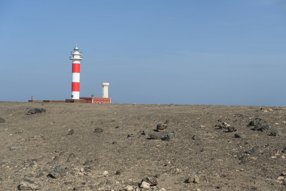
Die Tour beginnt in El Cotilla, da wir dort während des Urlaub Quatier bezogen hatten. Da es sich weitgehend um eine Rundtour handelt kann aber auch an jedem anderen Punkt in den Track eingestiegen werden.

Auch als Tagestour bei einem Tagesausflug von Lanzarote eignet sich diese Rundtour. In diesem Fall ist die Hafenmole von Corralejo der Startpunkt


GPS tracks

Trackpoints
  • GPX / Garmin Map Source (gpx) download
  • TCX / Garmin Training Center® (tcx) download
  • CRS / Garmin Training Center® (crs) download
  • Google Earth (kml) download
  • G7ToWin (g7t) download
  • TTQV (trk) download
  • Overlay (ovl) download
  • Fugawi (txt) download
  • Kompass (DAV) Track (tk) download
  • Track data sheet (pdf) download
  • Original file of the author (gpx) download

More about the tour author

tbachner
Member since 2007

Send private message
Share track
Add to my favorites
Remove from my favorites
Edit tags
My score
Rate
Track: Fuerteventura: Cotillo - Corralejo
Type: Mountain bike
Distance: 56,3 km
Evaluated on:
Duration:
Day(s)
Hour(s)
Minute(s)
Score: Landscape Fun factor Fitness Technique