


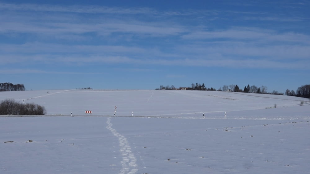
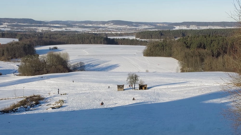
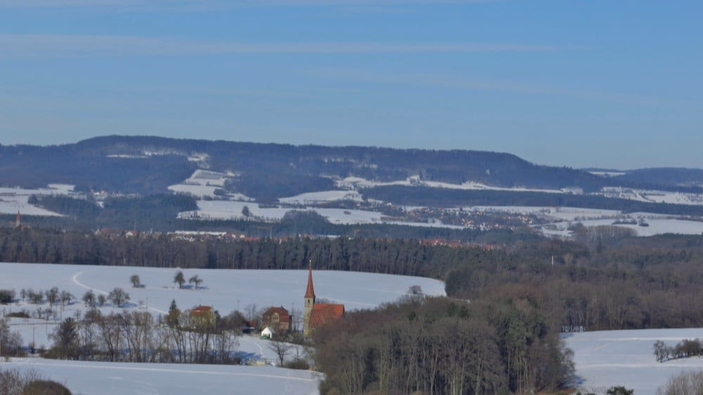
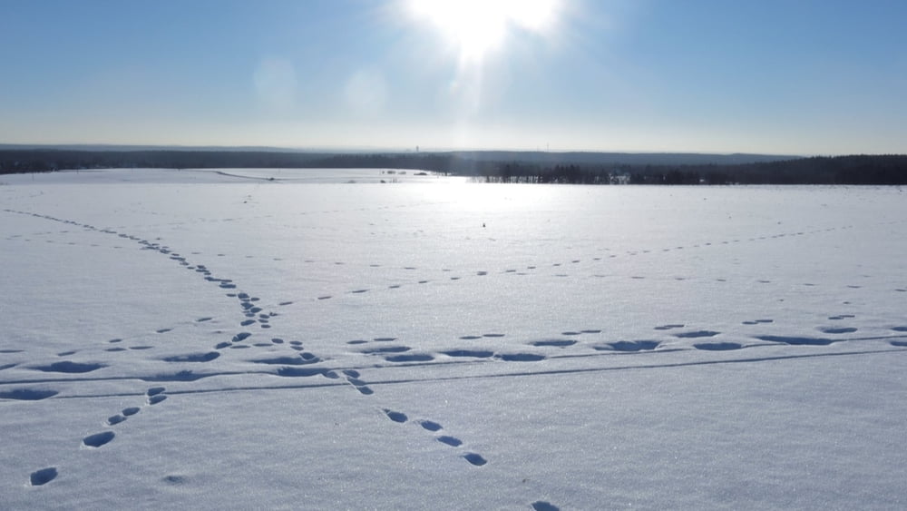
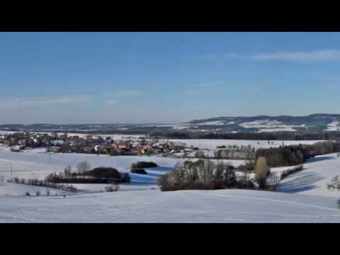
Eine gemütliche Tour mit wenig Höhenmetern in idealem (Schneeschuh-) Schnee! Vom Parkplatz zum alten Wasserturm, leicht ab- und aufwärts nach Oedenberg. Vor dem Ort links ab und rechts wendend in einer Senke weiter. Kurz im Wald aufwärts und bald schnurgerade nach Norden zu einer Waldschneiße. Geradeaus über die Straße zum "Ochsenkopf" auf dem Plateau, links weiter über Rodelbahn unterhalb Tauchersreuth nach Westen. Über die Straße nach Beerbach hinweg leicht aufwärts zu Waldspitze. Nun geht es über die Straße und fast geradeaus zum Wasserturm und zurück Richtung Parkplatz.
HINWEIS zum Video:
Mit Mozilla Firefox u.a. mit Flash- Player Plugin startet das Video direkt bei der Bildershow.
Andernfalls verwendet ihr in eurem Browser den Link:
https://youtu.be/X6eY6LTSu2g
Tour gallery
Tour map and elevation profile
Minimum height 374 m
Maximum height 439 m
More about the tour author
|
|
heinz-57 |
Comments

Auf der B2 von Heroldsberg nach Eckental in Höhe Großgeschaidt rechts ab durch Kleingeschaidt, weiter nach Tauchersreuth, Am Ortsende Links Parkplatz am Rodelhang.
GPS tracks
Trackpoints-
GPX / Garmin Map Source (gpx) download
-
TCX / Garmin Training Center® (tcx) download
-
CRS / Garmin Training Center® (crs) download
-
Google Earth (kml) download
-
G7ToWin (g7t) download
-
TTQV (trk) download
-
Overlay (ovl) download
-
Fugawi (txt) download
-
Kompass (DAV) Track (tk) download
-
Track data sheet (pdf) download
-
Original file of the author (gpx) download
More about the tour author
|
|
heinz-57 |
Add to my favorites
Remove from my favorites
Edit tags
Open track
My score
Rate