
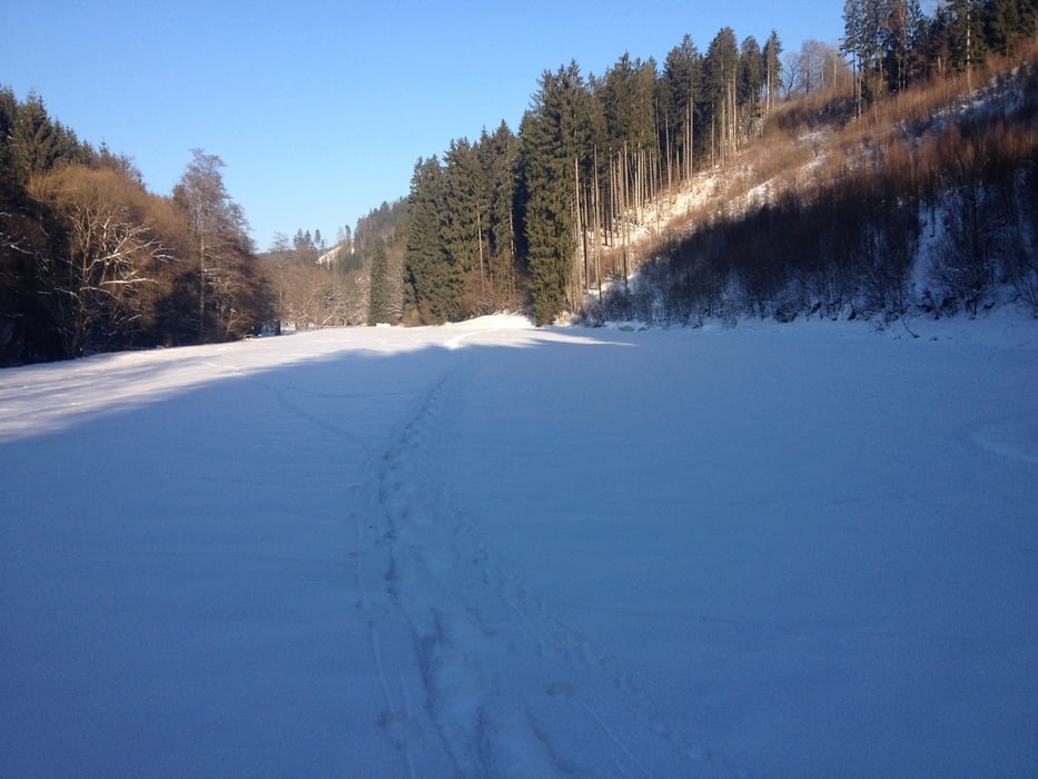

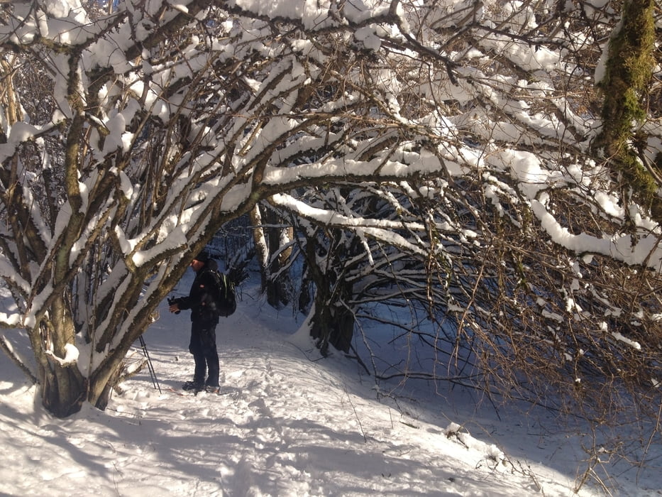
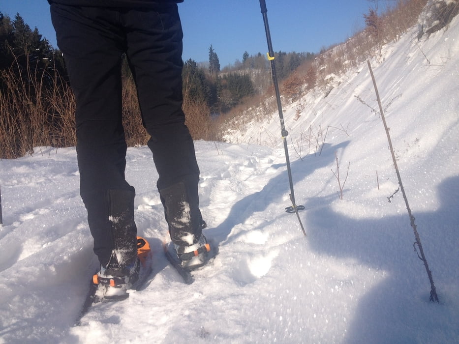
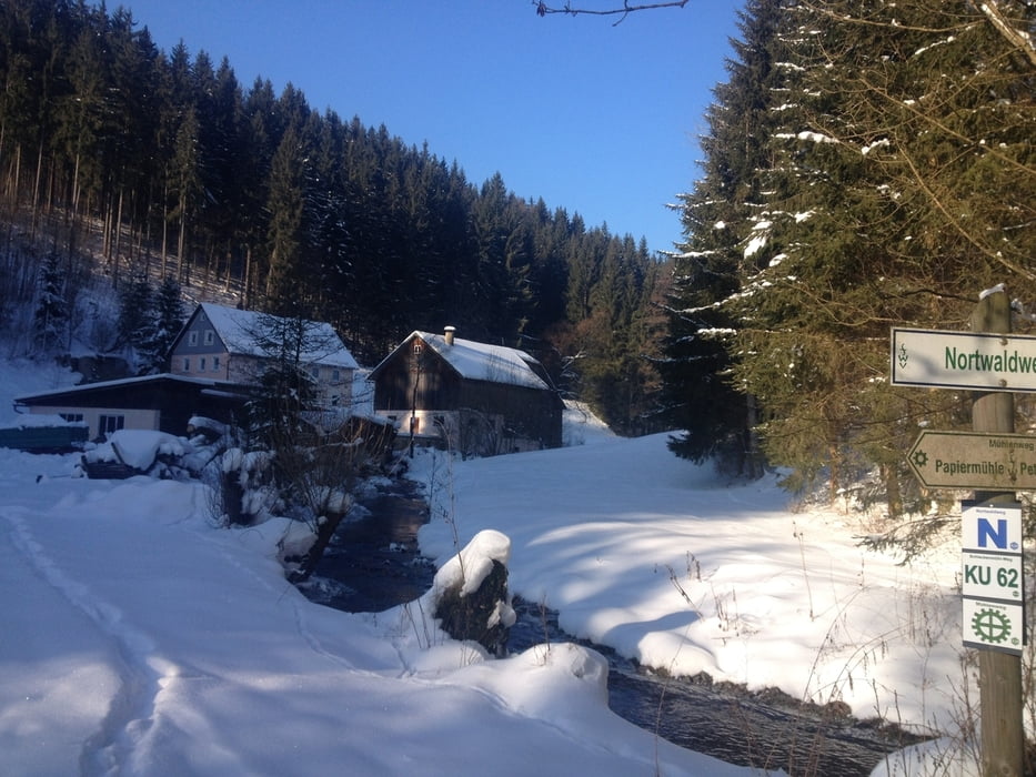
Start und Endpunkt ist die Neumühle.
Mit einem Abstecher nach Seifertsreuth in´s Dorfwirtshaus geht es entlang des Mühlenweges vorbei an der Papiermühle bis zur Schlackenmühle und wieder zurück.
Viel Spaß!
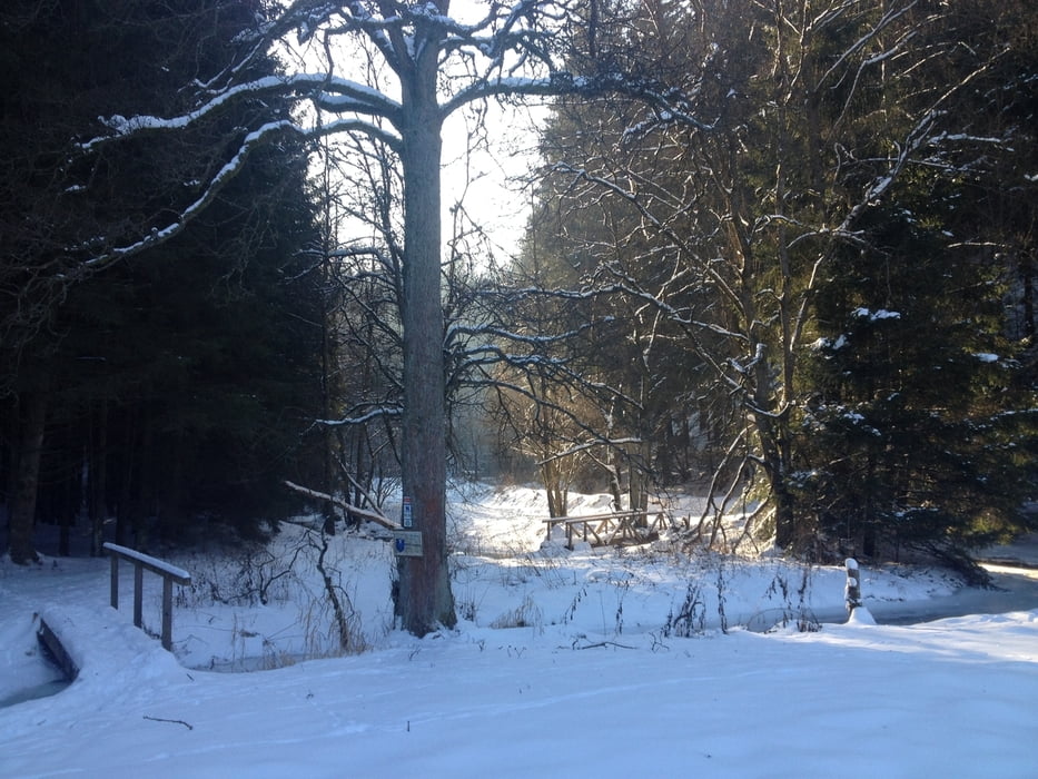
Tour gallery
Tour map and elevation profile
Minimum height 414 m
Maximum height 517 m
More about the tour author
|
|
berndhuber |
Comments

Stadtsteinach >Steinachklamm
GPS tracks
Trackpoints-
GPX / Garmin Map Source (gpx) download
-
TCX / Garmin Training Center® (tcx) download
-
CRS / Garmin Training Center® (crs) download
-
Google Earth (kml) download
-
G7ToWin (g7t) download
-
TTQV (trk) download
-
Overlay (ovl) download
-
Fugawi (txt) download
-
Kompass (DAV) Track (tk) download
-
Track data sheet (pdf) download
-
Original file of the author (gpx) download
More about the tour author
|
|
berndhuber |
Add to my favorites
Remove from my favorites
Edit tags
Open track
My score
Rate