
")

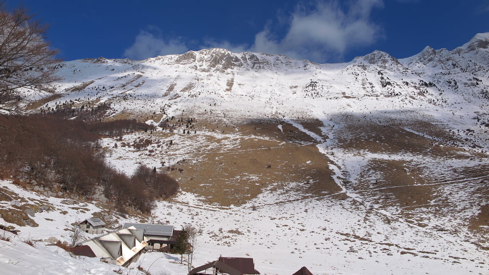
salendo da Drezniske Ravne, si raggiunge un abbeveratoio per il bestiame, posto per parcheggio. Già li indicazioni x la cima del Krasji. Salire in cima dal lato SE. Dalla cima scendere per il lato est, sino a vecchie fortificazioni con numerosi resti. Ritornando sul sentiero di andata si scende sino ad incrociare le segnalazioni per la Pl. Zaprikraj, situata in una bella valle. Dalla malga seguire prima la strada sterrata sino ad uscire dai recinti per il bestiame, per poi scendere subito sulla sx per tracce sino all'auto, oppure seguire la strada sino ad incontrare di nuovo il sentiero di andata, ma più lungo.
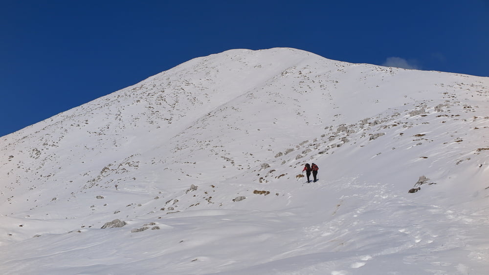
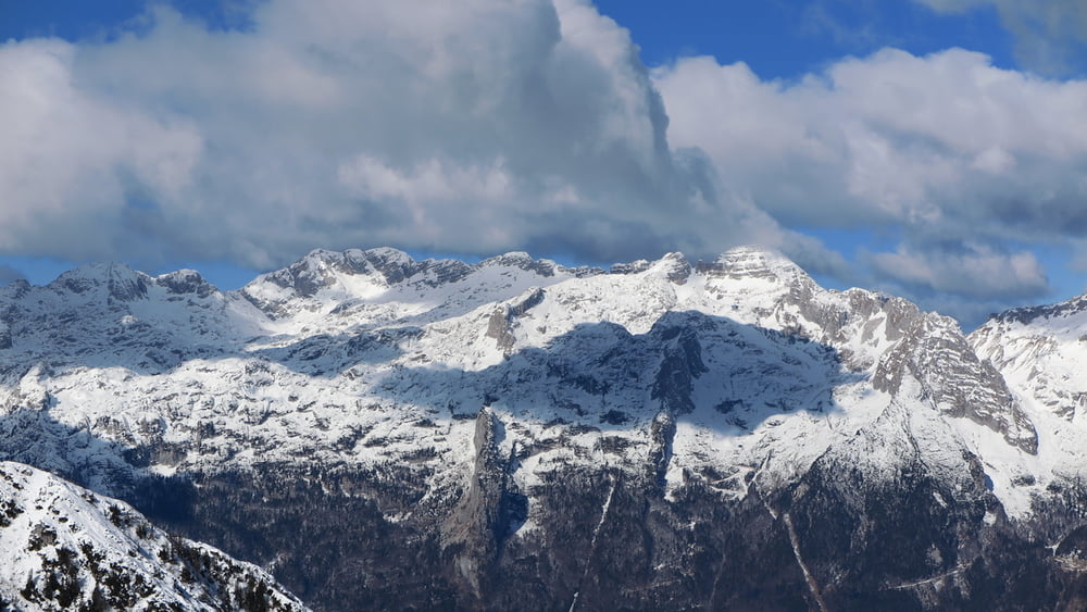
Cima inaspettatamente molto panoramica, bellisssima la vista sulla catena del Krn.
Tour gallery
Tour map and elevation profile
Minimum height 99999 m
Maximum height -99999 m
More about the tour author
|
|
sioni |
Comments

Da Caporetto seguire le indicazioni per Bovec, ma ancora prima di uscire dalla cittadina seguire sulla DX le indicazioni x Dreznica.
GPS tracks
Trackpoints-
GPX / Garmin Map Source (gpx) download
-
TCX / Garmin Training Center® (tcx) download
-
CRS / Garmin Training Center® (crs) download
-
Google Earth (kml) download
-
G7ToWin (g7t) download
-
TTQV (trk) download
-
Overlay (ovl) download
-
Fugawi (txt) download
-
Kompass (DAV) Track (tk) download
-
Track data sheet (pdf) download
-
Original file of the author (gpx) download
More about the tour author
|
|
sioni |
Add to my favorites
Remove from my favorites
Edit tags
Open track
My score
Rate