Login

Forgot your login?

Cookies have to be accepted!
Your browser's cookie functionality is disabled. Please enable this functionality.

Not a member yet?

Register now
Login

Available for registred users only

Log in to use this feature.

Forgot your login?

Cookies have to be accepted!
Your browser's cookie functionality is disabled. Please enable this functionality.

Not a member yet?

Register now
Filter
Categories
Advanced filters
  • Distance (km)
  • Height
Save filters Reset filter

TrackRank

QRCode

Technical data

Distance97,1 km Height669 m Way down657 m Duration00:00 h:m Date12.05.2008
Scores Author Landscape Fun factor Fitness Technique

Statistics

443 Views Scores 106 Downloads Average
Rate
  • Track data sheet
  • Directions
  • Downloads
Ein Versuch....jeden Berg und alle Eiscafes von HH / Harburg bis zum Wilsteder - Berg anzufahren.Auf sandigen Wegen, Wurzel- Trails und möglichs nicht auf Straßen zu fahren.Es ist uns alles gut gelungen.
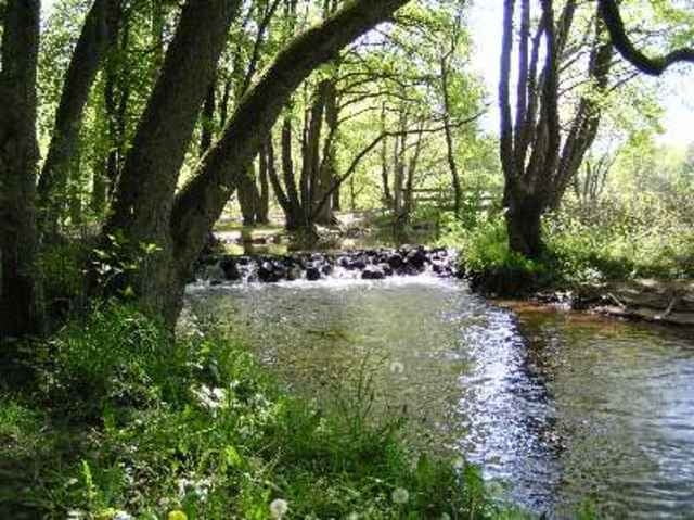
Tour gallery

Tour map and elevation profile

  • Open Street Map
  • Google
Minimum height -16 m Maximum height 166 m Detailed view

More about the tour author

julianernst
Member since 2007

Send private message

Comments

S-3 Hamburg/ Harburg zum Neuländerplatz.

GPS tracks

Trackpoints
  • GPX / Garmin Map Source (gpx) download
  • TCX / Garmin Training Center® (tcx) download
  • CRS / Garmin Training Center® (crs) download
  • Google Earth (kml) download
  • G7ToWin (g7t) download
  • TTQV (trk) download
  • Overlay (ovl) download
  • Fugawi (txt) download
  • Kompass (DAV) Track (tk) download
  • Track data sheet (pdf) download
  • Original file of the author (gpx) download

More about the tour author

julianernst
Member since 2007

Send private message
Share track
Add to my favorites
Remove from my favorites
Edit tags
My score
Rate
Track: Von HH /S-Bahn Harburg zum Wilsteder Berg
Type: Mountain bike
Distance: 97,1 km
Evaluated on:
Duration:
Day(s)
Hour(s)
Minute(s)
Score: Landscape Fun factor Fitness Technique