


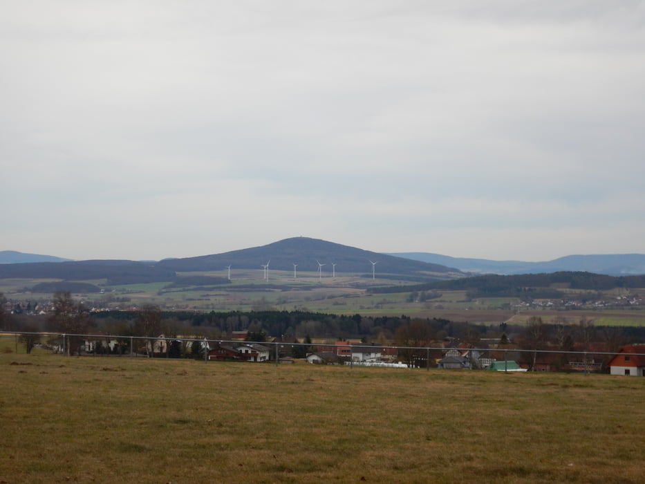
Start in Oberhaun Richtung Haunetal. In Odensachsen kurz auf Strasse und zurück grobe Richtung Eiterfeld. Anschließend querfeldein mit Ziel Wippershain. Dabei führte der Weg über die neuen Windradanlagen, Bodes, Fischbach hinauf nach Wippershain und von dort steil bergab nach Sieglos.
Rest ist einfädeln auf der "stillgelegten" B 27 in Richtung Oberhaun.
Tour gallery


Tour map and elevation profile
Minimum height 209 m
Maximum height 467 m
More about the tour author
|
|
winzerto |
Comments

Oberhaun ist zu erreichen über B27 von HEF oder Fulda aus.
GPS tracks
Trackpoints-
GPX / Garmin Map Source (gpx) download
-
TCX / Garmin Training Center® (tcx) download
-
CRS / Garmin Training Center® (crs) download
-
Google Earth (kml) download
-
G7ToWin (g7t) download
-
TTQV (trk) download
-
Overlay (ovl) download
-
Fugawi (txt) download
-
Kompass (DAV) Track (tk) download
-
Track data sheet (pdf) download
-
Original file of the author (gpx) download
More about the tour author
|
|
winzerto |
Add to my favorites
Remove from my favorites
Edit tags
Open track
My score
Rate