


Si parte dal parcheggio di Poggio Catino e si prende subito la
strada che scende a sinistra; la si segue per poco più di un
chilometro, fino all'imbocco di un sentiero quasi invisibile
sulla destra che sale dentro il bosco per circa 1,5 Km fino ad
affacciarsi improvvisamente sullo spettacolare Revotano, una
depressione carsica molto estesa non segnalata da nessun
cartello. Qui abbiamo seguito per un po' il margine ma il punto
dove si vede meglio è appena si arriva, per cui siamo tornati di
nuovo sul sentiero principale.
Si comincia a scendere verso le gole del Fosso Galantina con un
sentierino che segue a mezzacosta fino a fondovalle. Qui in
prossimità di un'antica mola si guada facilmente e si prosegue
per un sentiero che proprio sopra la mola, un po' nascosto ci
porterà fino alla grotta di San Leonardo, un'eremo incastonato
nella roccia molto suggestivo. Da li si continua per il sentiero
che segue la costa e dopo pochi chilometri ci condurrà fino a
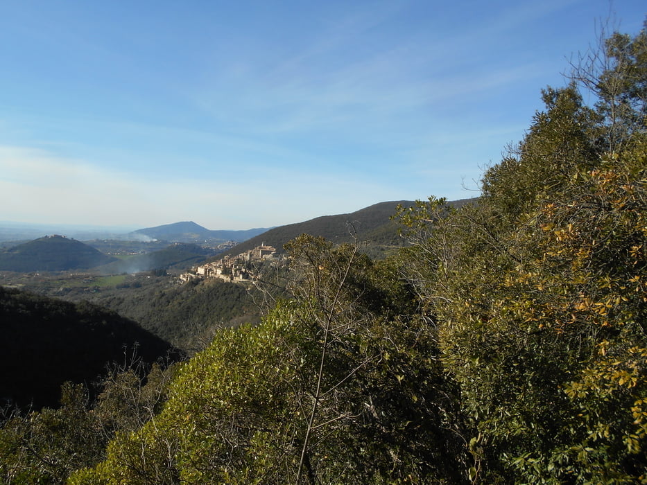
Roccantica.
Tour gallery


Tour map and elevation profile
Minimum height 362 m
Maximum height 617 m
More about the tour author
|
|
Ozujsko |
Comments

GPS tracks
Trackpoints-
GPX / Garmin Map Source (gpx) download
-
TCX / Garmin Training Center® (tcx) download
-
CRS / Garmin Training Center® (crs) download
-
Google Earth (kml) download
-
G7ToWin (g7t) download
-
TTQV (trk) download
-
Overlay (ovl) download
-
Fugawi (txt) download
-
Kompass (DAV) Track (tk) download
-
Track data sheet (pdf) download
-
Original file of the author (gpx) download
More about the tour author
|
|
Ozujsko |
Add to my favorites
Remove from my favorites
Edit tags
Open track
My score
Rate