


Percorso ad anello sui Monti Lucretili molto vario. Si parte da Prato Favale e si va verso il Malopasso, la Valle Cavalera fino al bivio segnalato dove a sinistra si va verso il Pratone e a destra verso Campitello; si prende a destra fino alla fonte Campitello Bassa e in seguito fino a Campitello Alta. Si prosegue costeggiando il Fosso di Vena Scritta fino ad un bivio che punta a Sud dove si segue il Fosso delle Forme che diventa dopo un po' 1fosso di Vena Caprara. Il sentiero scende e raggiungiamo la Madonna dei Ronci; si scende ancora fino a circa 550m. Da qui in poi il sentiero diventa molto bello, tecnico e dinamico e si sale fino a circa 750m dove si incontra un ponte che attraverseremo sotto. dopo il ponte si gira a sinistra e si incrocia una strada asfaltata, giriamo ancora a sinistra e la seguiamo fino alla fine (circa 2KM); da qui, dopo poco, ridiventa sentiero che seguiremo fino a Malopasso e poi giu per Prato Favale.
Segnato quasi ovunque, dislivello discreto, lunghezza discreta, ma molto bello.
Segnato quasi ovunque, dislivello discreto, lunghezza discreta, ma molto bello.
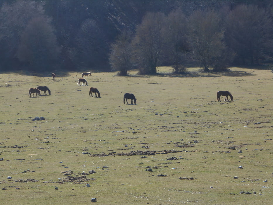
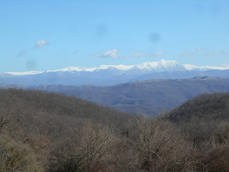
Tour gallery


Tour map and elevation profile
Minimum height 557 m
Maximum height 1068 m
More about the tour author
|
|
Ozujsko |
Comments

GPS tracks
Trackpoints-
GPX / Garmin Map Source (gpx) download
-
TCX / Garmin Training Center® (tcx) download
-
CRS / Garmin Training Center® (crs) download
-
Google Earth (kml) download
-
G7ToWin (g7t) download
-
TTQV (trk) download
-
Overlay (ovl) download
-
Fugawi (txt) download
-
Kompass (DAV) Track (tk) download
-
Track data sheet (pdf) download
-
Original file of the author (gpx) download
More about the tour author
|
|
Ozujsko |
Add to my favorites
Remove from my favorites
Edit tags
Open track
My score
Rate