


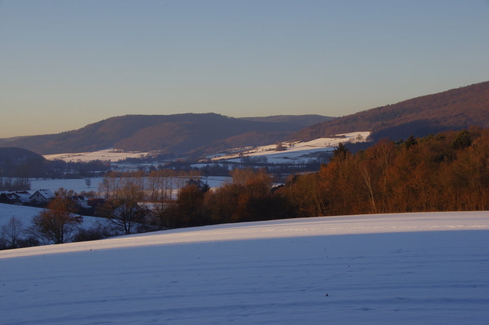
Wir wanderten bei sonnigem Winterwetter auf dem Radweg im Lahntal nach Caldern um dort etwas anzusteigen und uns einen Weg in den Wald zu suchen.
Auf Waldwegen erreichten wir die Verbindungsstraße zwischen Caldern und Marbach.
Leider gab es keinen direkten Weg auf den ausgewählten Forstweg. So überquerten wir den gefrorenen Bach und kletterten den steilen Hang hoch um dann durch Wald und Feld den Rückweg anzutreten.
Further information at
https://de.wikipedia.org/wiki/LahntalTour gallery


Tour map and elevation profile
Minimum height 204 m
Maximum height 305 m
More about the tour author
|
|
Pheinz |
Comments

GPS tracks
Trackpoints-
GPX / Garmin Map Source (gpx) download
-
TCX / Garmin Training Center® (tcx) download
-
CRS / Garmin Training Center® (crs) download
-
Google Earth (kml) download
-
G7ToWin (g7t) download
-
TTQV (trk) download
-
Overlay (ovl) download
-
Fugawi (txt) download
-
Kompass (DAV) Track (tk) download
-
Track data sheet (pdf) download
-
Original file of the author (gpx) download
More about the tour author
|
|
Pheinz |
Add to my favorites
Remove from my favorites
Edit tags
Open track
My score
Rate