


Der Kraichgau eignet sich hervorragend für einfachere Fahrradtouren, da die landwirschaftlichen Wege meist geteert und die Steigungen des Kraichtaler Hügellands moderat sind.
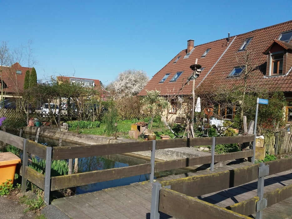
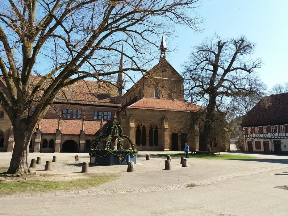
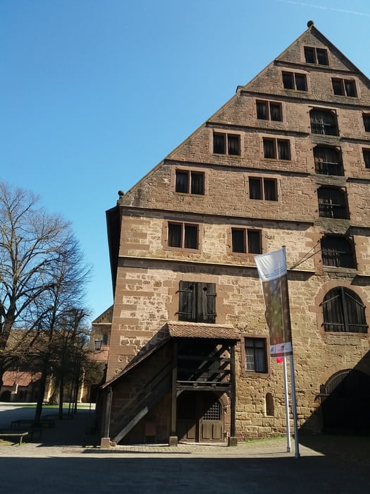
Start war in der Altstadt von Karlsruhe - Durlach. Von hier nach Grötzingen und dann auf schönen Radwegen nach Weingarten und von dort entlang des Walzbachs nach Jöhlingen. Der Track führt am Friedhof und Bahnhof vorbei, kann aber einfacher auch durch die Hauptstrasse führen. Aus dem Ort heraus geht es aufwärts zur Jöhlinger Kapelle. Abwärts zur Bundesstrasse nach Wössingen. Der weitere Radweg nach Bretten hat einige Steigungen und das letzte Stück nach Maulbronn und zum Kloster kostet etwas Schweiss.
Wer die Weltkulturerbe Klosteranlage nicht kennt, sollte hier unbedingt Zeit für die Besichtigung einplanen.
Bem.: Diese Streckentour kann auch als Rundtour über das Pfinztal zurück nach Karlsruhe geplant werden (wer die Kondition dazu hat). Ich bin zurück nach Bretten zum Bahnhof geradelt und mit der S4 nach Durlach zurück.
Further information at
http://www.kloster-maulbronn.de/start/Tour gallery
Tour map and elevation profile
Minimum height 149 m
Maximum height 386 m
More about the tour author
|
|
Reinholdo |
Comments

Die Radtour kann man ab dem Durlacher Bahnhof starten. Hier ist Haltepunkt der Stadtbahnen S4 und S5 und verschiedener Regiozüge.
Mit dem Auto an der B3 oder Autobahn Ausfahrt Karlsruhe - Durlach
GPS tracks
Trackpoints-
GPX / Garmin Map Source (gpx) download
-
TCX / Garmin Training Center® (tcx) download
-
CRS / Garmin Training Center® (crs) download
-
Google Earth (kml) download
-
G7ToWin (g7t) download
-
TTQV (trk) download
-
Overlay (ovl) download
-
Fugawi (txt) download
-
Kompass (DAV) Track (tk) download
-
Track data sheet (pdf) download
-
Original file of the author (gpx) download
More about the tour author
|
|
Reinholdo |
Add to my favorites
Remove from my favorites
Edit tags
Open track
My score
Rate