
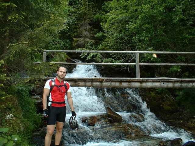

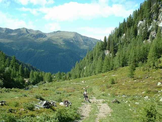
Die Gasarnalm ist eine Variante meiner Teuchl Tour. Diese Tour findet großteils nur auf Schotter und Geröllweg statt.
Wunderschöne Tour, die ettliche HM beinhaltet.
Wunderschöne Tour, die ettliche HM beinhaltet.
Further information at
http://www.gaestehaus-graf.atTour gallery
Tour map and elevation profile
Minimum height 617 m
Maximum height 1734 m
More about the tour author

|
mastergraf |
Comments

Ausgangspunkt ist das Gästehaus Graf
www.gaestehaus-graf.at
Auto:
von Salzburg: Tauernautobahn A10, Abfahrt Lendorf, weiter Richtung Mölltal (Mallnitz) über Möllbrücke, Mühldorf bis Reißeck
von Süden: Grenzübergang Tarvisio, Autobahn Villach, Spittal, Abfahrt Mallnitz, weiter bis Reißeck
Bahn: Mit Bahn nach Spittal Millstätter See und von dort mittels Regionalzug oder Bus nach Kolbnitz
GPS tracks
Trackpoints-
GPX / Garmin Map Source (gpx) download
-
TCX / Garmin Training Center® (tcx) download
-
CRS / Garmin Training Center® (crs) download
-
Google Earth (kml) download
-
G7ToWin (g7t) download
-
TTQV (trk) download
-
Overlay (ovl) download
-
Fugawi (txt) download
-
Kompass (DAV) Track (tk) download
-
Track data sheet (pdf) download
-
Original file of the author (g7t) download
More about the tour author
|
|
mastergraf |
Add to my favorites
Remove from my favorites
Edit tags
Open track
My score
Rate