


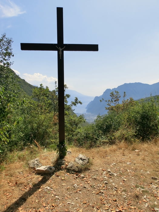
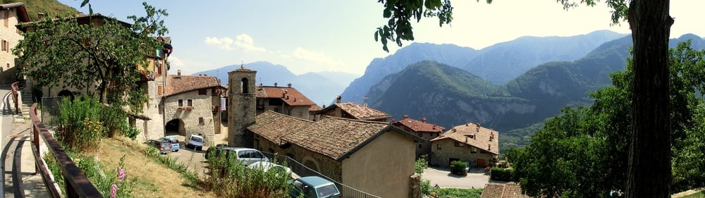
Schöne, konditionell anstrengende, aber technisch leichte Tour. Steiler Asphaltanstieg von Varignano (Arco) hinauf nach San Giovanni (ca. 900-1000 hm auf 11 km) mit Ausblicken auf Arco, Riva, Torbole, Monte Baldo. Einkehrmöglichkeit im netten Ristoro San Giovanni. Dann auf Forstwegen zum Croce di Bondiga und auf Straße nach Calvola, Ville del Monte und Tenno mit herrlichen Ausblicken auf die Bergkette westlich von Riva. Zu guter Letzt durch Weinhänge zurück nach Varignano.
Tour gallery


Tour map and elevation profile
Minimum height 96 m
Maximum height 1147 m
More about the tour author
|
|
mackator |
Comments

Varignano
GPS tracks
Trackpoints-
GPX / Garmin Map Source (gpx) download
-
TCX / Garmin Training Center® (tcx) download
-
CRS / Garmin Training Center® (crs) download
-
Google Earth (kml) download
-
G7ToWin (g7t) download
-
TTQV (trk) download
-
Overlay (ovl) download
-
Fugawi (txt) download
-
Kompass (DAV) Track (tk) download
-
Track data sheet (pdf) download
-
Original file of the author (gpx) download
More about the tour author
|
|
mackator |
Add to my favorites
Remove from my favorites
Edit tags
Open track
My score
Rate