


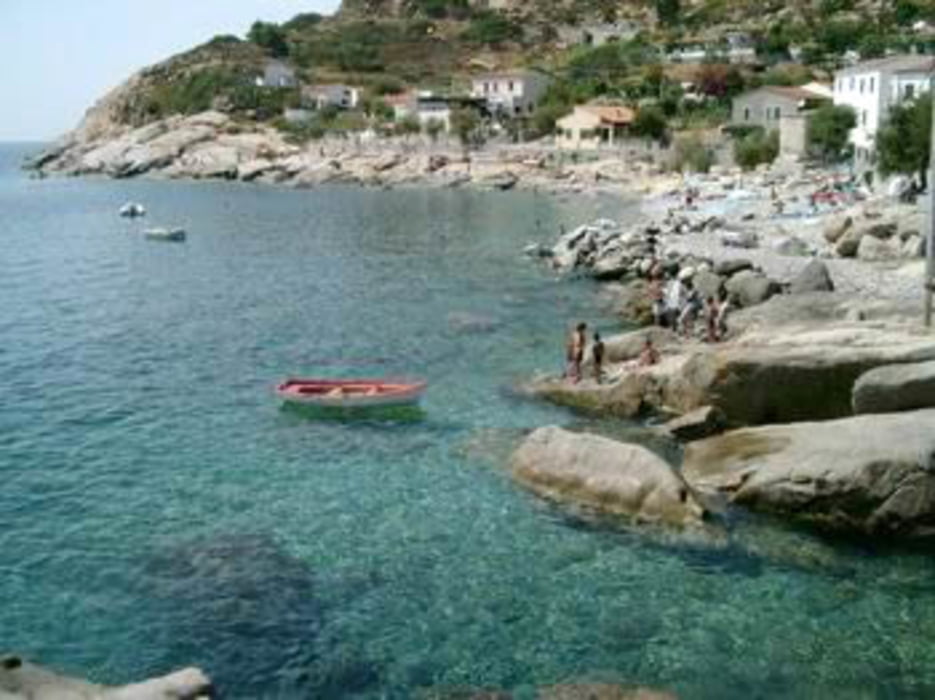
Lasciata l'auto nei pressi di Chiessi si sale per lo splendido sentiero 25 al semaforo. Affrontare la salita con calma, a tratti ripida, lunga ed esposta al sole. Si visita la postazione del semaforo e si continua a salire fino ad imboccare sulla destra il sentiero numero 3 che ci riporterà a Chiessi tramite un lungo percorso ad anello, prima in quota e poi in costante discesa. Con una piccola deviazione dal sentiero 3 si possono visitare anche i ruderi della chiesa di San Bartolomeo. Al temine del trekking, ovviamente, bagno in mare rigorosamente obbligatorio!
Further information at
https://it.wikipedia.org/wiki/Semaforo_di_Campo_alle_SerreTour gallery

Tour map and elevation profile
Minimum height 17 m
Maximum height 694 m
More about the tour author

|
mikyross |
Comments

italia toscana livorno isola d'elba marciana chiessi
GPS tracks
Trackpoints-
GPX / Garmin Map Source (gpx) download
-
TCX / Garmin Training Center® (tcx) download
-
CRS / Garmin Training Center® (crs) download
-
Google Earth (kml) download
-
G7ToWin (g7t) download
-
TTQV (trk) download
-
Overlay (ovl) download
-
Fugawi (txt) download
-
Kompass (DAV) Track (tk) download
-
Track data sheet (pdf) download
-
Original file of the author (gpx) download
More about the tour author
|
|
mikyross |
Add to my favorites
Remove from my favorites
Edit tags
Open track
My score
Rate