Login

Forgotten password?

Cookies have to be accepted!
Your browser's cookie functionality is disabled. Please enable this functionality.

Not a member yet?

Register now
Login

Available for registred users only

Log in to use this feature.

Forgotten password?

Cookies have to be accepted!
Your browser's cookie functionality is disabled. Please enable this functionality.

Not a member yet?

Register now
Filter
Categories
Advanced filters
  • Distance (km)
  • Height
Save filters Reset filter

TrackRank

QRCode

Technical data

Distance38,9 km Height1428 m Way down1428 m Duration00:00 h:m Date13.05.2008
Scores Author User Landscape Fun factor Fitness Technique

Statistics

749 Views 1 Score 212 Downloads 4.00 Average
Rate
  • Track data sheet
  • Directions
  • Downloads
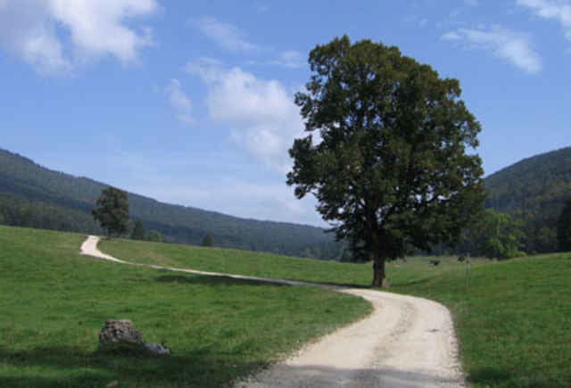
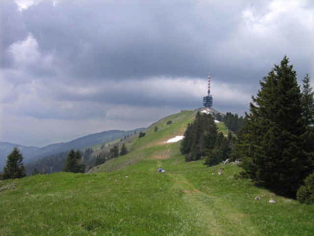
Von Nods, nehmen Waldweg bis Metairie de BIenne. Nachher es ist Wiese und single track bis Orvins. HOp es gibt Weg für die Rückfahrt bis Chasseral. Es gibt ein grosse Aufstiege auf Waldweg und Nachher die Chasseral Kamm. Hopp, die Final Abfahrte. Am Anfang es ist Wiese und von 1400m zu 900m es ist Single Track mit viele Kurve... Sehr schöne

Tour gallery

Tour map and elevation profile

  • Open Street Map
  • Google
Minimum height 746 m Maximum height 1649 m Detailed view

More about the tour author

preusser
Member since 2007

Send private message

Comments

auinger on 01.07.2012

Feedback

Supertour!! Der Aufstieg von Orwins hat es in sich, dafür wirst Du mit einem Top-Trail belohnt. Direkt vor dem Eingang des Chasseral Restaurant gehen ein paar Treppenstufen in die Wiese, let's go :-) Achtung: Am Waldrand weiter unten den linken Abzweiger in den schmalen Wanderweg nicht verpassen, wäre schade um den Trail!

GPS tracks

Trackpoints
  • GPX / Garmin Map Source (gpx) download
  • TCX / Garmin Training Center® (tcx) download
  • CRS / Garmin Training Center® (crs) download
  • Google Earth (kml) download
  • G7ToWin (g7t) download
  • TTQV (trk) download
  • Overlay (ovl) download
  • Fugawi (txt) download
  • Kompass (DAV) Track (tk) download
  • Track data sheet (pdf) download
  • Original file of the author (gpx) download

More about the tour author

preusser
Member since 2007

Send private message
Share track
Add to my favorites
Remove from my favorites
Edit tags
My score
Rate
Track: Nods - Orvins - Chasseral
Type: Mountain bike
Distance: 38,9 km
Evaluated on:
Duration:
Day(s)
Hour(s)
Minute(s)
Score: Landscape Fun factor Fitness Technique