


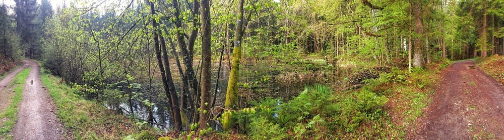
Von Klagenfurt (Feschnig) über den Ehrentaler Berg, hinunter trailmäßig sehr knifflig! Durch Tessendorf bis rauf auf den Emmersdorfer Hügel ("Kredithügel") und weiter im Wald auf den Ehrenbichler Berg. Auf coolen Forststeigen zum Tentschacher Berg, vorbei am Schloss Tentschach westlich bis nach Großbuch. Über Faning geht es zur Feldkirchner Landesstraße, die wird bei Ponfeld gequert und im Wald geht es bei Nässe durchaus fordernd über Wurzelwerk bis zum Golfplatz Seltenheim. Dort auf der Forststraße, später auf Asphalt runter nach Tultschnig und über Wölfnitz und Lendorf retour nach Klagenfurt. Sehr cooles, äußerst abwechslungsreiches Workout!
Tour gallery
Tour map and elevation profile
Minimum height 405 m
Maximum height 694 m
More about the tour author
|
|
gurktaler |
Comments

A2 Klagenfurt Nord, in der Gegend vom Klinikum Klagenfurt starten.
GPS tracks
Trackpoints-
GPX / Garmin Map Source (gpx) download
-
TCX / Garmin Training Center® (tcx) download
-
CRS / Garmin Training Center® (crs) download
-
Google Earth (kml) download
-
G7ToWin (g7t) download
-
TTQV (trk) download
-
Overlay (ovl) download
-
Fugawi (txt) download
-
Kompass (DAV) Track (tk) download
-
Track data sheet (pdf) download
-
Original file of the author (gpx) download
More about the tour author
|
|
gurktaler |
Add to my favorites
Remove from my favorites
Edit tags
Open track
My score
Rate