


Beginn der Tour etwa 5km westlich von Ronshausen, am Breitenbacher See. Durch das Fuldatal bis Morschen, weitesgehend dem R1 folgen. Ab Morschen geht es dann zur Sache. Über die Höhenzüge sind auf dem Rückweg etwa 1300hm zu bewältigen. Die Route entspricht der Wegführung des Vitaltages 2008.
Further information at
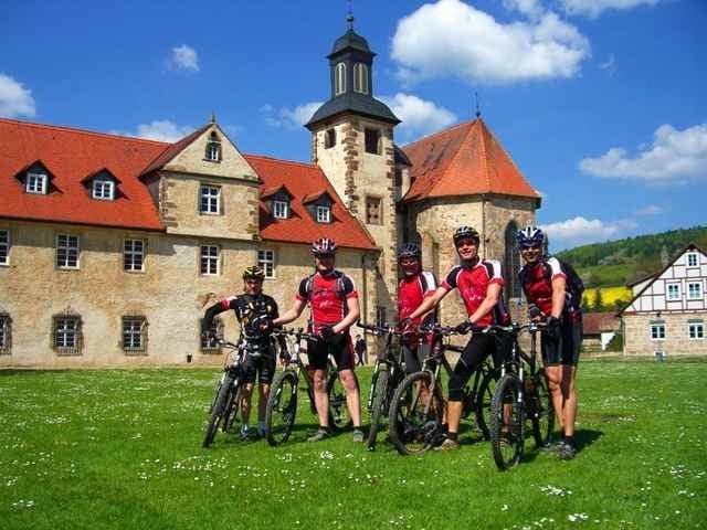
http://mtb1994ronshausen.info.msTour gallery
Tour map and elevation profile
Minimum height 179 m
Maximum height 484 m
More about the tour author

|
maxxviper |
Comments
Mitte Deutschland. Gut zu erreichen über die A4 Abfahrt Wildeck-Hönebach, dann Richtung Ronshausen-Bebra, oder über B27 / B83 Abfahrt Bebra-Süd, dann Richtung Wildeck.
GPS tracks
Trackpoints-
GPX / Garmin Map Source (gpx) download
-
TCX / Garmin Training Center® (tcx) download
-
CRS / Garmin Training Center® (crs) download
-
Google Earth (kml) download
-
G7ToWin (g7t) download
-
TTQV (trk) download
-
Overlay (ovl) download
-
Fugawi (txt) download
-
Kompass (DAV) Track (tk) download
-
Track data sheet (pdf) download
-
Original file of the author (gpx) download
More about the tour author
|
|
maxxviper |
Add to my favorites
Remove from my favorites
Edit tags
Open track
My score
Rate
Über den Höhenzug kommen schon einige Höhenmeter zusammen. Allerdings (bis auf ca. 700 m von Wildschweinen und Reitern durchgepflügten Singletrail) alles auf bestens ausgebauten Forstautobahnen. Kann man also ruhig auch mit dem Treckingrad fahren.