


Schleife um Waldangeloch.
Erst Richtung Sinsheim, dann nach Tiefenbach und Eichelberg.
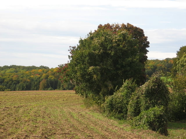
Anstrengende Tour mit einigen technisch anspruchsvollen Abschnitten.
Abwandlung von Tour 11 auf der Sinsheim-Webpage. Siehe link unten.
Erst Richtung Sinsheim, dann nach Tiefenbach und Eichelberg.
Anstrengende Tour mit einigen technisch anspruchsvollen Abschnitten.
Abwandlung von Tour 11 auf der Sinsheim-Webpage. Siehe link unten.
Further information at
http://www.sinsheim.de/html/kultur/radtouren/index_m.htmlTour gallery
Tour map and elevation profile
Minimum height 168 m
Maximum height 333 m
More about the tour author

|
Foxy |
Comments
auf der B39 nach Waldanngelloch. Parkplatz vor der Mehrzweckhalle
GPS tracks
Trackpoints-
GPX / Garmin Map Source (gpx) download
-
TCX / Garmin Training Center® (tcx) download
-
CRS / Garmin Training Center® (crs) download
-
Google Earth (kml) download
-
G7ToWin (g7t) download
-
TTQV (trk) download
-
Overlay (ovl) download
-
Fugawi (txt) download
-
Kompass (DAV) Track (tk) download
-
Track data sheet (pdf) download
-
Original file of the author (gpx) download
More about the tour author
|
|
Foxy |
Add to my favorites
Remove from my favorites
Edit tags
Open track
My score
Rate
Booor
Tourbewertung