


Vom Parkplatz am Schloss Kratochvile am Schloss vorbei und der gelben Markierung links über die Straße in den Wald bis zur Kreuzung U Pekla folgen (3/4 Std.). Jetzt mit der grünen Markierung rechts etwas bergab und über den Gutshof Svarcenberk nach Zitna (1 Std.). In der Dorfmitte nach links und weiter der grünen Markierung talwärts. Vorbei an einem Wildgehege und dem Chudy-Teich zum Punkt Hrbov rozc. (1 Std.).
Nach links der roten Markierung entlang des Baches zu den Teichen Maly hrbovsky ryg und Velke hrbovsky ryb und nach links zum bereits bekannten Punkt U Pekla (3/4 Std.). Jetzt aber rechts entlang des Waldrandes vorbei an einer Wochenendhaussiedlung zur Straße. Hier links hinauf und weiter der roten Markierung rechts dem Wiesenweg folgen. Bei einem Bildstock links hinunter in den Ort und entlang der Straße zurück zum Parkplatz.
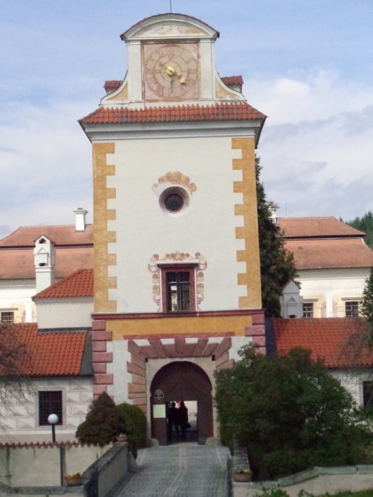
Tour gallery

Tour map and elevation profile
Minimum height 421 m
Maximum height 550 m
More about the tour author

|
JoHangler |
Comments

Über Lenora und Volary nach Prachatice. Auf der Straße 145 nach Kratochvile.
GPS tracks
Trackpoints-
GPX / Garmin Map Source (gpx) download
-
TCX / Garmin Training Center® (tcx) download
-
CRS / Garmin Training Center® (crs) download
-
Google Earth (kml) download
-
G7ToWin (g7t) download
-
TTQV (trk) download
-
Overlay (ovl) download
-
Fugawi (txt) download
-
Kompass (DAV) Track (tk) download
-
Track data sheet (pdf) download
-
Original file of the author (gpx) download
More about the tour author
|
|
JoHangler |
Add to my favorites
Remove from my favorites
Edit tags
Open track
My score
Rate