


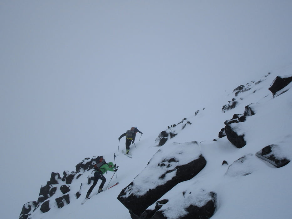
Links des Bachs empor, wo es flacher wird leicht nach links schwenken und das Tal an seiner linken Seite hinauf bis zum Gipfelaufbau. Über ein kurzes Steilstück durch die Felsen erreicht man den Gipfel auf einer Schneeflanke mit Skiern.
Jahreszeit der Tour: Ende März
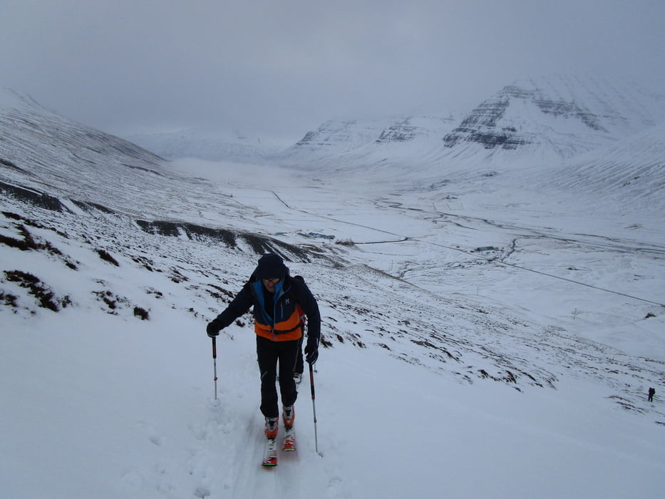
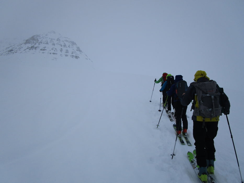
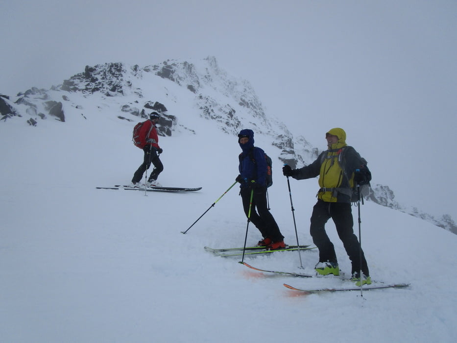
Tour gallery
Tour map and elevation profile
Minimum height 171 m
Maximum height 1011 m
More about the tour author

|
Gi |
Comments

von Dalvik der Straße 805 nach SW in Richtung Skeid folgen. Bei der Abzweigung nach Skeid, bei dem Gehöft Göngustadir noch ein kleines Stück weiter über eine kleine Brücke zu einer Parkmöglichkeit rechterhand.
GPS tracks
Trackpoints-
GPX / Garmin Map Source (gpx) download
-
TCX / Garmin Training Center® (tcx) download
-
CRS / Garmin Training Center® (crs) download
-
Google Earth (kml) download
-
G7ToWin (g7t) download
-
TTQV (trk) download
-
Overlay (ovl) download
-
Fugawi (txt) download
-
Kompass (DAV) Track (tk) download
-
Track data sheet (pdf) download
-
Original file of the author (gpx) download
More about the tour author
|
|
Gi |
Add to my favorites
Remove from my favorites
Edit tags
Open track
My score
Rate