


Ich radelte auf meiner Lieblingsstrecke von Homburg Schwarzenbach nach Kirkel Neuhäusel.
Am Abend fuhr ich dann amFriedhof und der Tanke vorbei wieder auf den Taubenpass hoch und auf dem Höhenrücken oberhalb des Taubentals nach Osten.
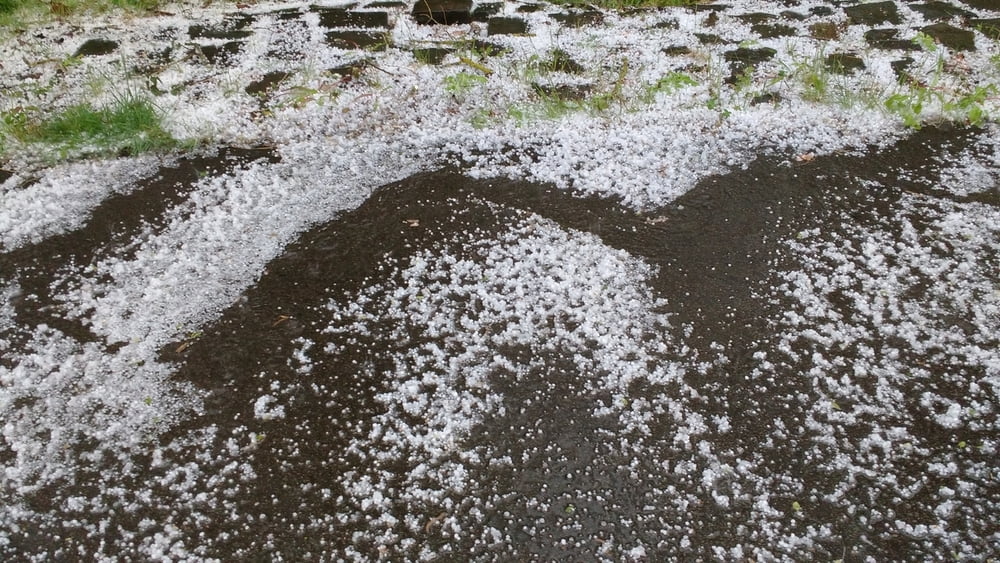
Während des heftigen Hagelgewitters fuhr ich im Bliestal zurück zu meinem Ausgangspunkt.
Further information at
https://de.wikipedia.org/wiki/HagelTour gallery
Tour map and elevation profile
Minimum height 226 m
Maximum height 351 m
More about the tour author
|
|
Pheinz |
Comments

Start und Ziel in Homburg Schwarzenbach.
GPS tracks
Trackpoints-
GPX / Garmin Map Source (gpx) download
-
TCX / Garmin Training Center® (tcx) download
-
CRS / Garmin Training Center® (crs) download
-
Google Earth (kml) download
-
G7ToWin (g7t) download
-
TTQV (trk) download
-
Overlay (ovl) download
-
Fugawi (txt) download
-
Kompass (DAV) Track (tk) download
-
Track data sheet (pdf) download
-
Original file of the author (gpx) download
More about the tour author
|
|
Pheinz |
Add to my favorites
Remove from my favorites
Edit tags
Open track
My score
Rate