Login

Forgotten password?

Cookies have to be accepted!
Your browser's cookie functionality is disabled. Please enable this functionality.

Not a member yet?

Register now
Login

Available for registred users only

Log in to use this feature.

Forgotten password?

Cookies have to be accepted!
Your browser's cookie functionality is disabled. Please enable this functionality.

Not a member yet?

Register now
Filter
Categories
Advanced filters
  • Distance (km)
  • Height
Save filters Reset filter

TrackRank

QRCode

Technical data

Distance37,5 km Height0 m Way down0 m Duration02:20 h:m Date07.05.2017
Scores Author Landscape Fun factor Fitness Technique

Statistics

195 Views Scores 33 Downloads Average
Rate
  • Track data sheet
  • Directions
  • Downloads
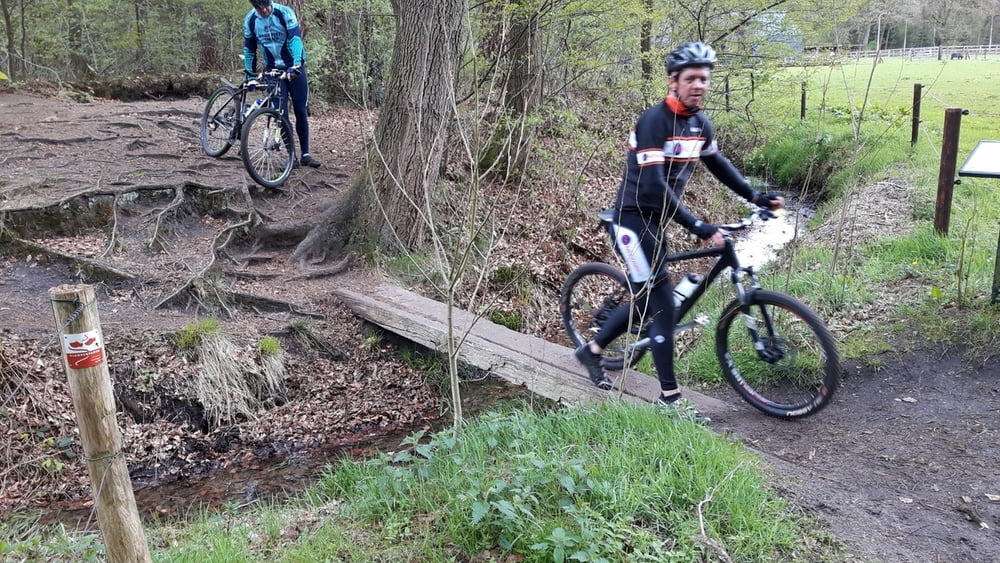
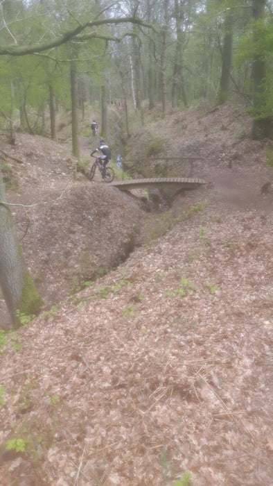
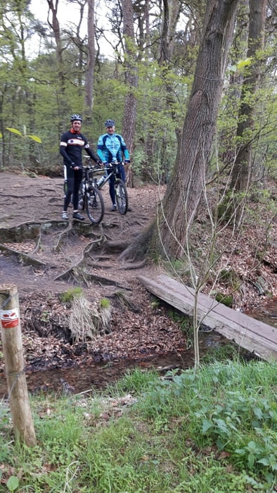
Schitterende tocht vanaf de Wageningse berg langs beekjes en door de bossen richting Oosterbeek. Aan de rand van Oosterbeek afbuigend naar Heveadorp langs de oevers van de Rijn op en af richting Renkum en vervolgens door richting de Wageningse berg.

Tour gallery

Tour map and elevation profile

  • Open Street Map
  • Google
Minimum height 99999 m Maximum height -99999 m Detailed view

More about the tour author

Olsthoorn
Member since 2009

Send private message

Comments

GPS tracks

Trackpoints
  • GPX / Garmin Map Source (gpx) download
  • TCX / Garmin Training Center® (tcx) download
  • CRS / Garmin Training Center® (crs) download
  • Google Earth (kml) download
  • G7ToWin (g7t) download
  • TTQV (trk) download
  • Overlay (ovl) download
  • Fugawi (txt) download
  • Kompass (DAV) Track (tk) download
  • Track data sheet (pdf) download
  • Original file of the author (gpx) download

More about the tour author

Olsthoorn
Member since 2009

Send private message
Share track
Add to my favorites
Remove from my favorites
Edit tags
My score
Rate
Track: Wageningen - Oosterbeek vice versa
Type: Mountain bike
Distance: 37,5 km
Evaluated on:
Duration:
Day(s)
Hour(s)
Minute(s)
Score: Landscape Fun factor Fitness Technique