


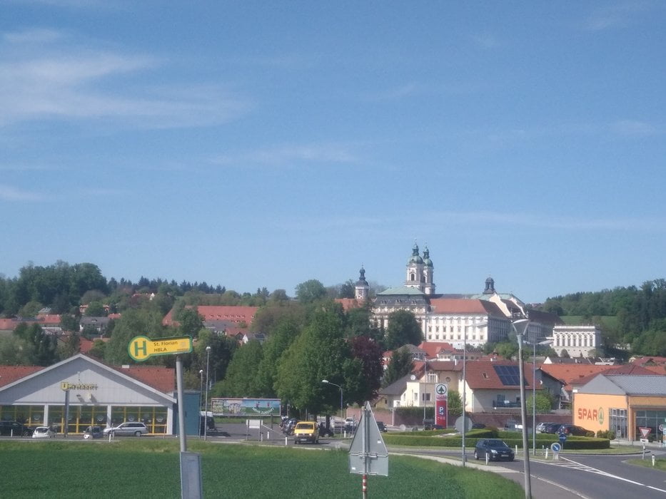
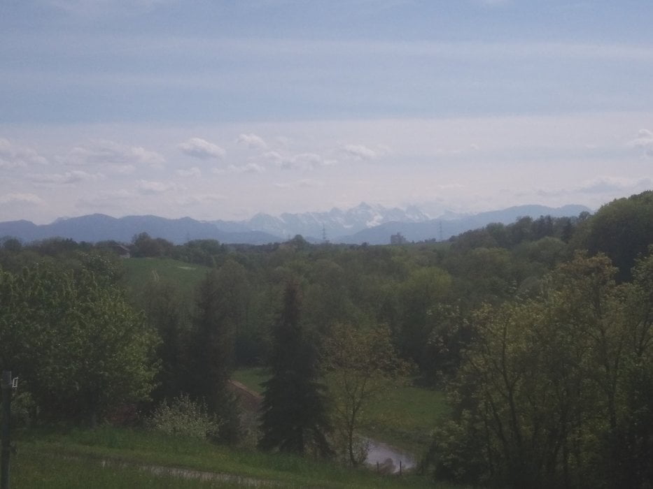
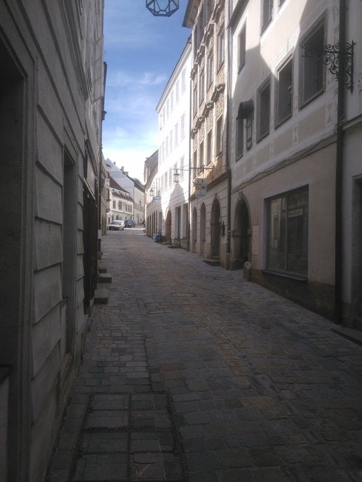
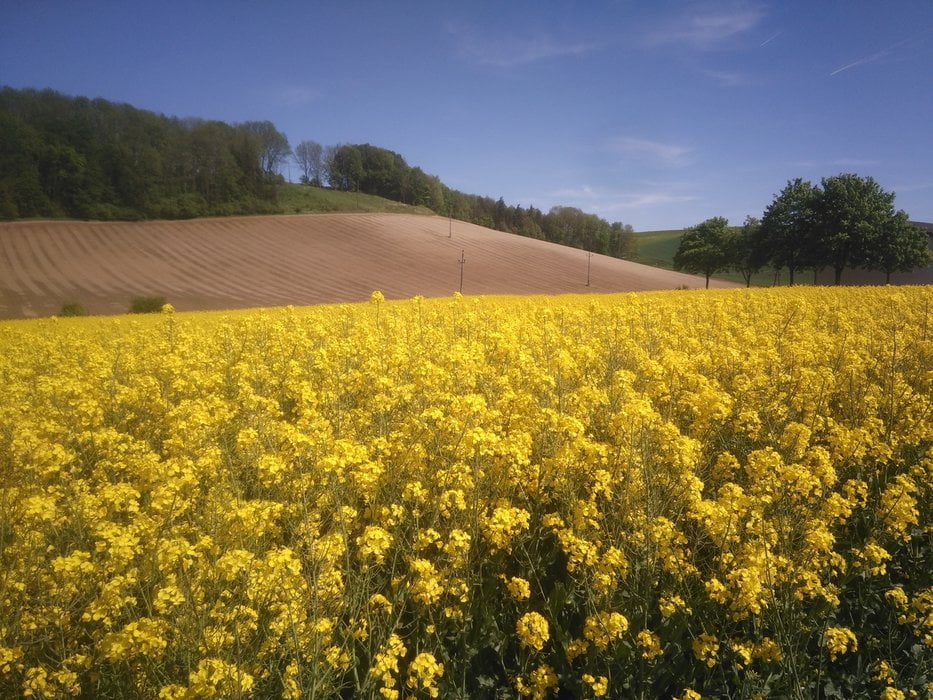
Diese Tour beginnt bei der Sportanlage Auwiesen! Los geht´s nach Ebelsberg, St. Florian weiter über Hofkirchen. Es geht immer auf und ab, da kommen auch a paar Höhenmeter zusammen. Bei Wolfern habe ich ein kurzes Stück Schotterstraße erwischt, ist fahrbar. Du kannst auch nach dem Nudelhof beim Bauernhof gerade nach Wolfern fahren und dann die Wolfernerstr. nach Steyr, um das Stück zu umgehn. In Steyr a Eis beim Buburuzer ist eine passende Belohnung! Zurück geht es zuerst nach Sierning. Auf vielen Nebenstraßen mit wenig Verkehr. St. Marien, Nettingsdorf und am Traunradweg wieder nach Auwiesen. Viel Spaß!
Tour gallery
Tour map and elevation profile
Minimum height 256 m
Maximum height 419 m
More about the tour author
|
|
Ritchy3 |
Comments

Sportanlage Auwiesen. Genügend Parkplatz vorhanden.
GPS tracks
Trackpoints-
GPX / Garmin Map Source (gpx) download
-
TCX / Garmin Training Center® (tcx) download
-
CRS / Garmin Training Center® (crs) download
-
Google Earth (kml) download
-
G7ToWin (g7t) download
-
TTQV (trk) download
-
Overlay (ovl) download
-
Fugawi (txt) download
-
Kompass (DAV) Track (tk) download
-
Track data sheet (pdf) download
-
Original file of the author (gpx) download
More about the tour author
|
|
Ritchy3 |
Add to my favorites
Remove from my favorites
Edit tags
Open track
My score
Rate