


Dit is de eerste dag van de fietstocht langs de Hadrianus muur en Wainwrights Coast to coast route. De low budget route gaat van camping naar camping. Het gedeelte langs de Hadrianus muur volgt de National Cycle Route 72 tot Carlisle. Na Carlisle buigt de track in richting van St. Bees, het startpunt van Wainwrights coast to coast van de Ierse zee naar de Noordzee.. Deze coast to coast route is van oorsprong een wandelpad. Ik heb geprobeerd om fietspaden en stille wegen op te nemen die zo dicht mogelijk bij de wandelroute liggen.
This is the first day of the cycle route along the Hadrian's Wall and Wainwrights Coast tot Coast.
The low budget route goes from campsite to campsite . The part along the Hadrian's Wall follows the National Cycle Route 72 till Carlisle. After Carlisle the track bends in the direction of St. Bees the starting point of Wainwrights Coast to Coast from the Irish sea to the North sea. This coast to coast route is a walking route. I tried to use cyclingpaths and quiet roads that are situated as near as possible to the walkingroute.
Tour gallery
Tour map and elevation profile
Minimum height 99999 m
Maximum height -99999 m
More about the tour author

|
partnair |
Comments

Van Newcastle naar de camping in Melkridge. From Newcastle to the campsite in Melkridge.
Bezoek het Romeinse fort van Housesteads / Visit the Roman Fort of Housesteds.
Kleine omweg is met waypoints aangegeven. / Little detour is indicated with waypoints
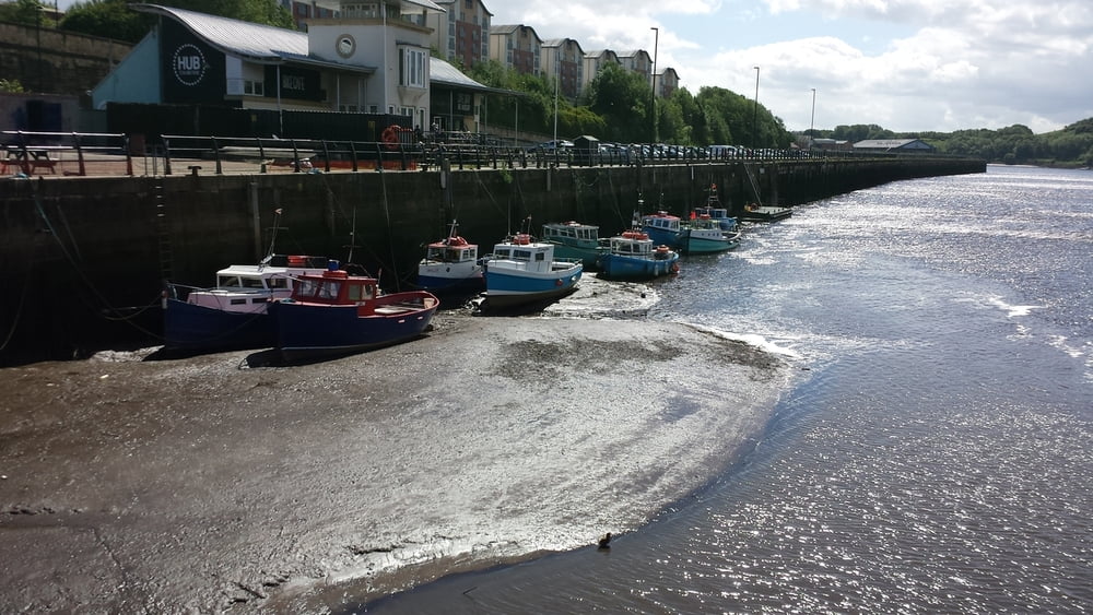
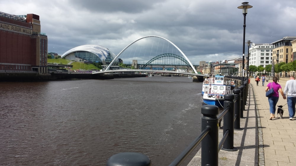
Vanaf de Ferry in Newcastle vind je al snel de eerste bordjes van de NCR 72. Je moet wel de aandacht er bij houden want het pad verandert veel van richting. Vrij snel ga je onder de poort door die het begin van de Hadrian's wall aankondigt. Je gaat de eerste 15 km dwars door Newcastle en volgt de rivier Tyne oa door het centrum met zijn bekende bruggen. Na Newcastle blijf je nog een hele tijd de rivier volgen, waardoor je nagenoeg over vlak terrein fietst. Zodra je de rivier verlaat komen de eerste van de vele hellingen die nog zullen volgen. Let op de bordjes die naar de Hadrianusmuur wijzen anders mis je de interessante plekjes. 10 km voor de camping van Melkridge vind je de ruines van Housesteads Roman fort en het Vindolanda museum. De sites sluiten om 17u00. De camping van Melkridge is eenvoudig. Er is een bunk barn ("slaapschuur") als je liever de tent niet uitpakt. De fiets kan in een andere schuur gestald worden.
From the Ferry in Newcastle you will find the first shields of the NCR 72. Stay allert because the path changes often the directions. Soon you will cycle under the arch that indicates the start of the Hadrian's wall route. The first 10 miles you will cross Newcastle. The route goes along the river Tyne, trough the centre of the town with its famous bridges. After Newcastle you will follow Tyne for quite some time offering you a flat ride. As soon as you leave the Tyne the first of the many hillsides to go will appear. Beware of the shields that point to the Hadrian's wall so that you don't miss the interesting sites. About 6 miles before the campsite of Melkridge you'll find the ruins of Housesteads Roman fort and the Vindolanda museum. Both sites are open till 5.00 pm. The Mekridge campsite is simple. There is a bunk barn in case you will leave the tent in the bag.
GPS tracks
Trackpoints-
GPX / Garmin Map Source (gpx) download
-
TCX / Garmin Training Center® (tcx) download
-
CRS / Garmin Training Center® (crs) download
-
Google Earth (kml) download
-
G7ToWin (g7t) download
-
TTQV (trk) download
-
Overlay (ovl) download
-
Fugawi (txt) download
-
Kompass (DAV) Track (tk) download
-
Track data sheet (pdf) download
-
Original file of the author (gpx) download
More about the tour author
|
|
partnair |
Add to my favorites
Remove from my favorites
Edit tags
Open track
My score
Rate