


Diese Tour ist wohl eine der schönsten auf Mallorca. Wer gerne anspruchsvolle Abfahrten hat und dabei noch die Aussicht auf die Küste mag, für den ist diese Route genau richtig. Wichtig ist, von Valldemossa nach Banyalbufar zu fahren, da die Tour in den Anstiegen sonst kaum bergauf fahrbar sein dürfte.
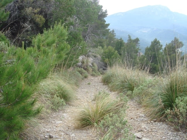
Am Anfang geht's gleich einmal ordentlich auf einer Art Single-Trail runter. Auf halbem Weg findet sich ein verschlossenes Tor an dem man aber vorbeikommt und wo nicht von einem Fahrverbot zu lesen wäre.
Nach einem kleinen Anstieg kommt man nach Port d'Es Cannoge und weiter auf dem Wanderweg nach Banyalbufar und zurück über die Straße nach Valldemossa.
Tour gallery
Tour map and elevation profile
Minimum height 9 m
Maximum height 493 m
More about the tour author

|
mapri |
Comments
Einfach direkt von Valldemossa (nördlich von Palma) losfahren.
GPS tracks
Trackpoints-
GPX / Garmin Map Source (gpx) download
-
TCX / Garmin Training Center® (tcx) download
-
CRS / Garmin Training Center® (crs) download
-
Google Earth (kml) download
-
G7ToWin (g7t) download
-
TTQV (trk) download
-
Overlay (ovl) download
-
Fugawi (txt) download
-
Kompass (DAV) Track (tk) download
-
Track data sheet (pdf) download
-
Original file of the author (gpx) download
More about the tour author
|
|
mapri |
Add to my favorites
Remove from my favorites
Edit tags
Open track
My score
Rate
Da die Abfahrten zum Teil sehr loses Geröll haben und sehr steil sind, ist die Tour aber wirklich nichts für Anfänger.
route blocked
re: route blocked
Küste entlang