Login

Forgot your login?

Cookies have to be accepted!
Your browser's cookie functionality is disabled. Please enable this functionality.

Not a member yet?

Register now
Login

Available for registred users only

Log in to use this feature.

Forgot your login?

Cookies have to be accepted!
Your browser's cookie functionality is disabled. Please enable this functionality.

Not a member yet?

Register now
Filter
Categories
Advanced filters
  • Distance (km)
  • Height
Save filters Reset filter

TrackRank

QRCode

Technical data

Distance28,4 km Height798 m Way down797 m Duration03:00 h:m Date19.05.2017
Scores Author Landscape Fun factor Fitness Technique

Statistics

285 Views Scores 48 Downloads Average
Rate
  • Track data sheet
  • Directions
  • Downloads

You should be an experienced mountain biker. Don't ride the trails when it's wet as it feels like riding on soap.

Lots of jumps and roots, narrow trees and branches. Take protection and pre-cautions.
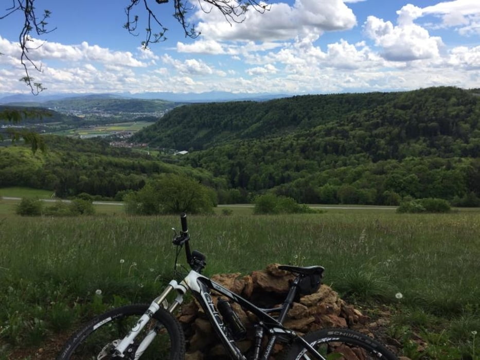
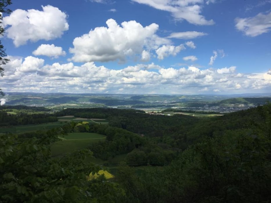
Tour gallery

Tour map and elevation profile

  • Open Street Map
  • Google
Minimum height 318 m Maximum height 698 m Detailed view

More about the tour author

kiri
Member since 2011

Send private message

Comments

EdMan on 19.04.2018

Tolle Tour

Sehr schöne, singletraillastige Tour mit schönen Ausblicken. Verbesserungen: Circa bei KM 12 kann man den Feldweg verlassen und rechts (steil!) zur den S-Trail zur Ruine hoch (am Ende wenige Stufen tragen). Von der Ruine führt ein weiterer Singletrail zum Steinbruch (die originale Tour ist komplett Feldweg). Links am Steinbruch vorbei (wie Original) und am Ende des Bruchs rechts wieder von der Tour abweichend den Singletrail zum Turm (Geissberg). Von dort den originalen Trail folgend die schöne Abfahrt. Klasse Gegend; kaum Leute. Technisch alles einfach zu fahren; Protektoren nicht nötig. Hardtail reicht.

GPS tracks

Trackpoints
  • GPX / Garmin Map Source (gpx) download
  • TCX / Garmin Training Center® (tcx) download
  • CRS / Garmin Training Center® (crs) download
  • Google Earth (kml) download
  • G7ToWin (g7t) download
  • TTQV (trk) download
  • Overlay (ovl) download
  • Fugawi (txt) download
  • Kompass (DAV) Track (tk) download
  • Track data sheet (pdf) download
  • Original file of the author (gpx) download

More about the tour author

kiri
Member since 2011

Send private message
Share track
Add to my favorites
Remove from my favorites
Edit tags
My score
Rate
Track: Singletrails / Flowtrails des Rothbergs und Geissbergs
Type: Mountain bike
Distance: 28,4 km
Evaluated on:
Duration:
Day(s)
Hour(s)
Minute(s)
Score: Landscape Fun factor Fitness Technique