


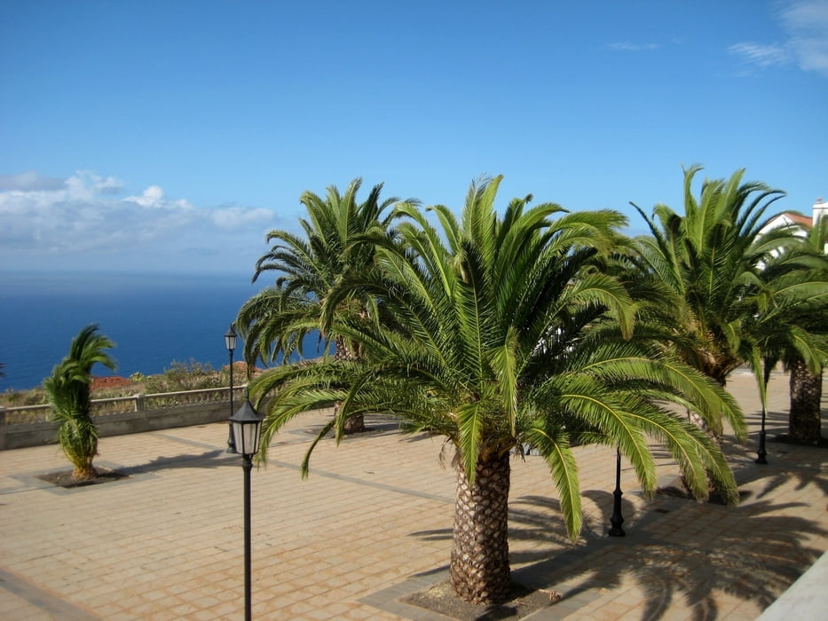
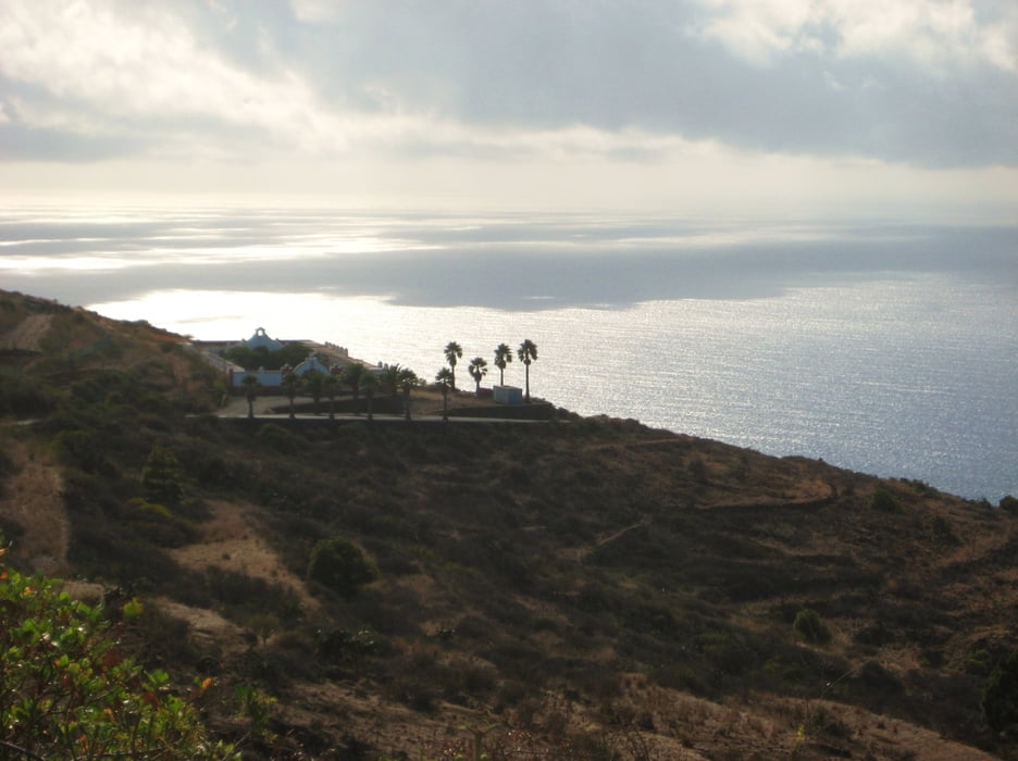
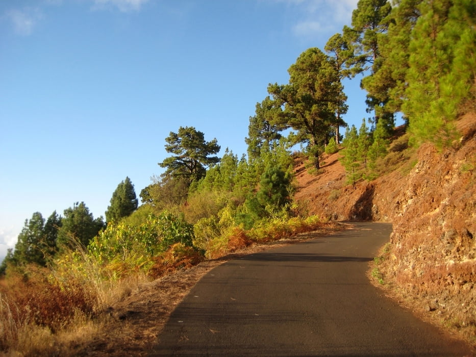
Schöne MTB Tour über liebliche Pfade, vorbei an einer Kirche wie aus einem Western entsprungen(WPT_34), hinab ins verschlafene Nest Garafia (WPT_35). Dann die Küstenstraße entlang mit prächtigen Ausblicken aufs Meer (bei WPT_36 lohnt sich evtl. ein Abstecher hinab zum Mirador), schließlich einen knapp 1000 hm bemessenden Asphaltanstieg zurück zum Ausgangspunkt an der Landstraße. Interessantes Restaurant Azul bei WPT_38, hatte aber Ruhetag. Vorsicht vor Hunden auf einem Gehöft direkt an der Landstraße bei WPT_39.
2009 von uns gefahren. Ich hatte noch kein Navi und habe das File per Hand erstellt, deswegen kein Höhenprofil. Hm Angabe gemäß MTB Guide.
Wir haben gute Erfahrungen mit dem freundlichen MTB Verleih in Puerto Naos gemacht (siehe Link).
Further information at
http://www.bike-station.de/index.htmTour gallery

Tour map and elevation profile
Minimum height 99999 m
Maximum height -99999 m
More about the tour author
|
|
mackator |
Comments

Parkplatz am Kiosco Briesta
GPS tracks
Trackpoints-
GPX / Garmin Map Source (gpx) download
-
TCX / Garmin Training Center® (tcx) download
-
CRS / Garmin Training Center® (crs) download
-
Google Earth (kml) download
-
G7ToWin (g7t) download
-
TTQV (trk) download
-
Overlay (ovl) download
-
Fugawi (txt) download
-
Kompass (DAV) Track (tk) download
-
Track data sheet (pdf) download
-
Original file of the author (gpx) download
More about the tour author
|
|
mackator |
Add to my favorites
Remove from my favorites
Edit tags
Open track
My score
Rate