
")

Tour von Chur auf das Churer Joch
Hinauf weitgehend auf Nebenwegen, hinunter auf Trail S2-S3. Nur für trockenes Wetter empfehlenswert. Abfahrt ist durchgehend recht steil, Auffahrt auch steil. Bei Rucalier Abfahrt auf Rudi´s Weg, der ist recht schmal ausgesetzt, er endet in einer Wiese. Die Wiese dann am Rand hinunter - am Besten schiebend, da die Anlieger MTB nicht gerne sehen. Alternativ das Stück auf Auffahrt hinunter (OSM anschauen) und Wegpunkt im Track beachten.
Wirtschaft am Gipfel macht Anfang Juni auf, 25.05.17 noch nicht geöffnet.
Für Tourenradler kann man Richtung Tscjirtschen abfahren, nur kurze Wanderwegpassage.
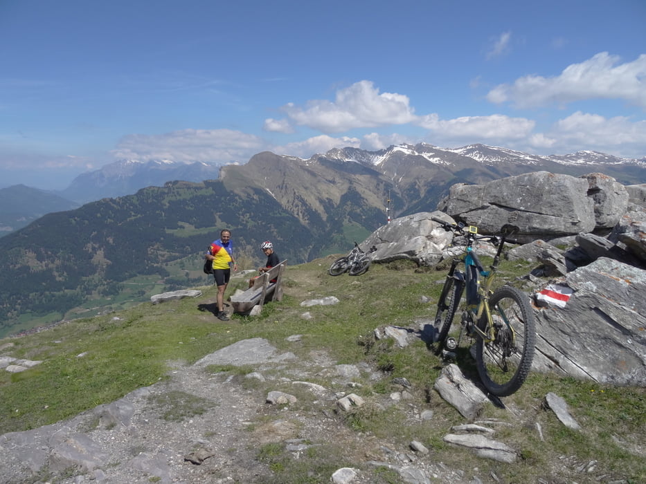
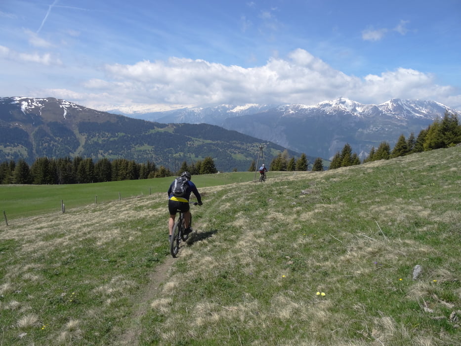
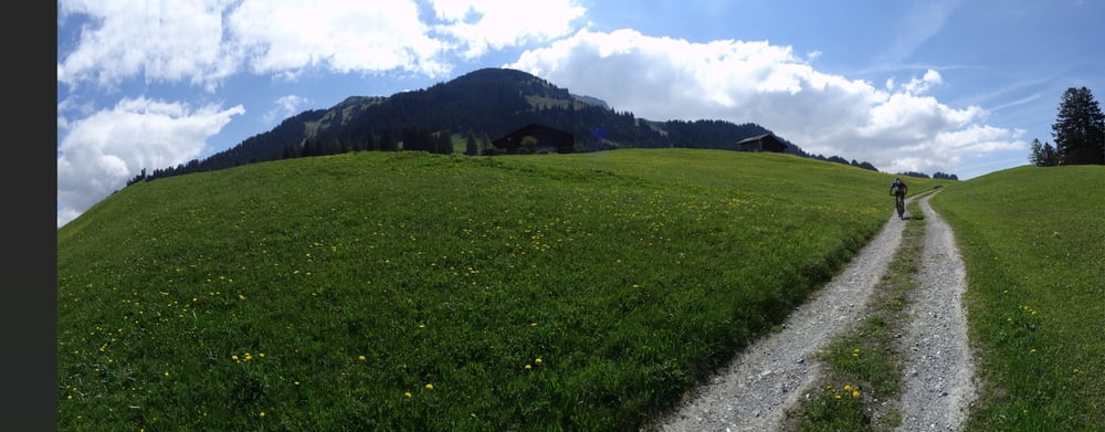
Tour gallery

Tour map and elevation profile
Minimum height 603 m
Maximum height 2047 m
More about the tour author
|
|
skyhopper |
Comments

parken am Startpunkt. Praktisch nur kostenpflichtige Parkplätze in Chur.
Am Wochende gibt es einige Firmenparkplätze die unbeschrtankt sind.
GPS tracks
Trackpoints-
GPX / Garmin Map Source (gpx) download
-
TCX / Garmin Training Center® (tcx) download
-
CRS / Garmin Training Center® (crs) download
-
Google Earth (kml) download
-
G7ToWin (g7t) download
-
TTQV (trk) download
-
Overlay (ovl) download
-
Fugawi (txt) download
-
Kompass (DAV) Track (tk) download
-
Track data sheet (pdf) download
-
Original file of the author (gpx) download
More about the tour author
|
|
skyhopper |
Add to my favorites
Remove from my favorites
Edit tags
Open track
My score
Rate