


Tour durch den nürnberger Südosten mit möglichst viel Grünanteil und Sehenswürdigkeiten.
- Peterskirche
- Petersfriedhof
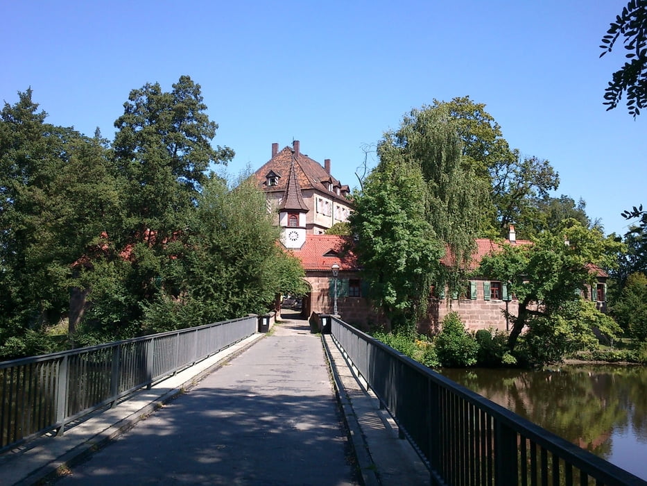
- Zeltner Schloss (Wasserschloss)
- Goldbach - Wasserfall
- Kleingartenanlagen
- TC Goldbach
- Goldbach (vor der Bahnunterführung kann man rechts direkt zum Bach gehen)
- Aussiger Platz
- Zerzabelshof
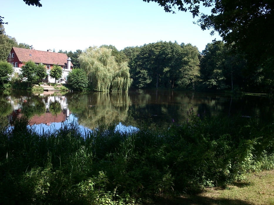
- Valzner Weiher
- FC Nürnbeg - Trainingsgelände
- S-Bahnhof Dutzenteich
- Wanner
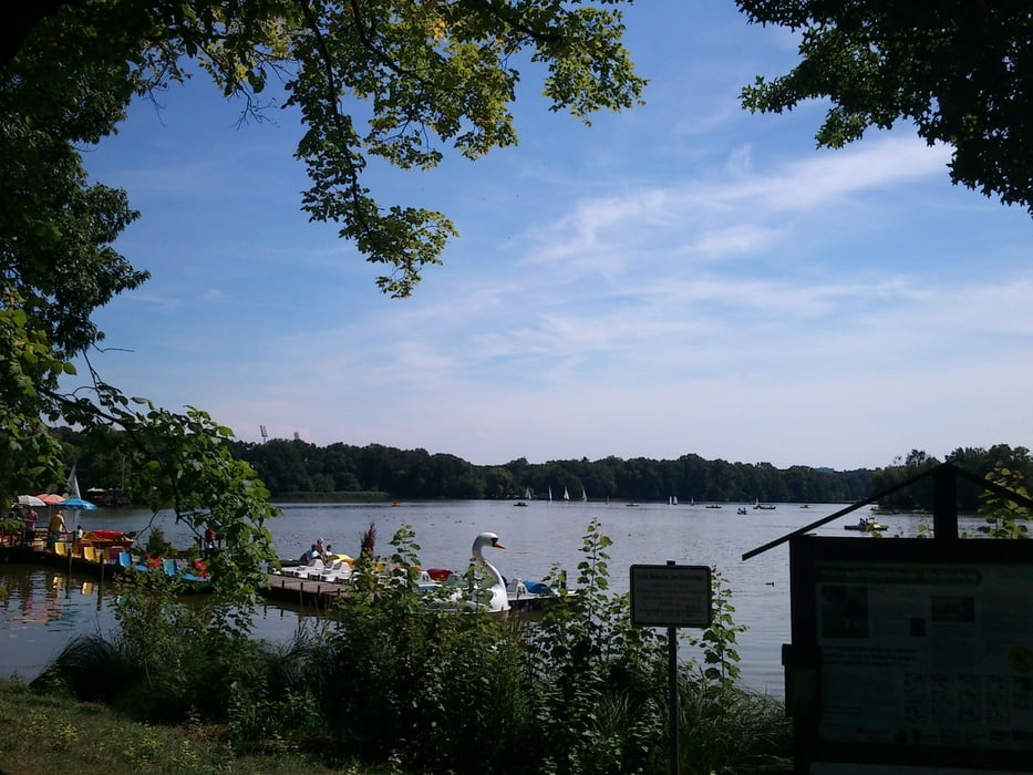
- Dutzenteich
- Dokumentationszentrum Reichsparteitagsgelnde
- Kongresshalle
- Volksfestplatz
- Luitpldhain
- Meistersingerhalle
- Bundesagentur für Arbeit
- Peterskirche
Um das Leibliche Wohl auf dieser Tour braucht sich niemand sorgen zu machen. Es liegen quasi unendlich viele gastronomische Einrichtungen auf dem Weg.
Tour gallery

Tour map and elevation profile
Minimum height 310 m
Maximum height 331 m
More about the tour author

|
MathBike |
Comments

GPS tracks
Trackpoints-
GPX / Garmin Map Source (gpx) download
-
TCX / Garmin Training Center® (tcx) download
-
CRS / Garmin Training Center® (crs) download
-
Google Earth (kml) download
-
G7ToWin (g7t) download
-
TTQV (trk) download
-
Overlay (ovl) download
-
Fugawi (txt) download
-
Kompass (DAV) Track (tk) download
-
Track data sheet (pdf) download
-
Original file of the author (gpx) download
More about the tour author
|
|
MathBike |
Add to my favorites
Remove from my favorites
Edit tags
Open track
My score
Rate