
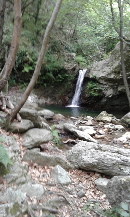

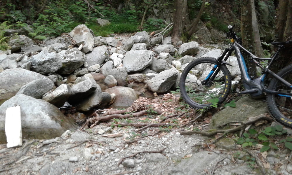
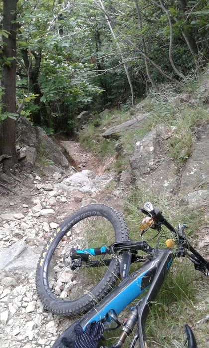
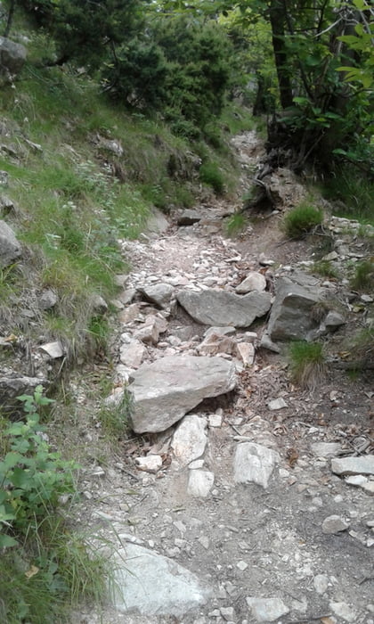
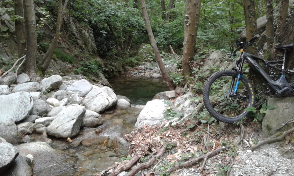
vom Camping Tahiti nach Final Borgo hinauf zum Castello Gavone und weiter Richtung Pian Merino. Wenn die Asphaltstrasse aufhört links neben dem Zaun Trail nach Calice Ligure auf Kopfsteinen und später auf Aspahlat in den Ort. Weiter Richtung Rialto und in Mulino Fahrweg zum Melogno Pass (Restaurant Din). Von Dort erst S1 Trail und dann links ab in den Sentiero (Trail nach Rialto). Wird scheinbar wenig befahren. Viele S3 Stellen - ich mußte manchmal schieben. Die fahrbaren Stücke aber sehr spannend. Unten angekommen, muss man einen Bach überqueren, gegenanstieg und man kommt in Rialto raus. Dann auf dem sentiero mit der Kennzeichnung IIO weiter - sehr fschön und spannend zu fahren. Führt auf einen Fahrweg bergauf. Später Einstieg in den Tecchiotrail, der in Calvi wieder auf die Strasse nach Calice Ligure rauskommt. Auf Strasse zurück zum Camping.
Tour gallery
Tour map and elevation profile
Minimum height -36 m
Maximum height 983 m
More about the tour author
|
|
Fruehaufsteher |
Comments

GPS tracks
Trackpoints-
GPX / Garmin Map Source (gpx) download
-
TCX / Garmin Training Center® (tcx) download
-
CRS / Garmin Training Center® (crs) download
-
Google Earth (kml) download
-
G7ToWin (g7t) download
-
TTQV (trk) download
-
Overlay (ovl) download
-
Fugawi (txt) download
-
Kompass (DAV) Track (tk) download
-
Track data sheet (pdf) download
-
Original file of the author (gpx) download
More about the tour author
|
|
Fruehaufsteher |
Add to my favorites
Remove from my favorites
Edit tags
Open track
My score
Rate