Login

Forgotten password?

Cookies have to be accepted!
Your browser's cookie functionality is disabled. Please enable this functionality.

Not a member yet?

Register now
Login

Available for registred users only

Log in to use this feature.

Forgotten password?

Cookies have to be accepted!
Your browser's cookie functionality is disabled. Please enable this functionality.

Not a member yet?

Register now
Filter
Categories
Advanced filters
  • Distance (km)
  • Height
Save filters Reset filter

TrackRank

QRCode

Technical data

Distance12,0 km Height246 m Way down250 m Duration02:02 h:m Date02.06.2017
Scores Author Landscape Fun factor Fitness Technique

Statistics

131 Views Scores 6 Downloads Average
Rate
  • Track data sheet
  • Directions
  • Downloads
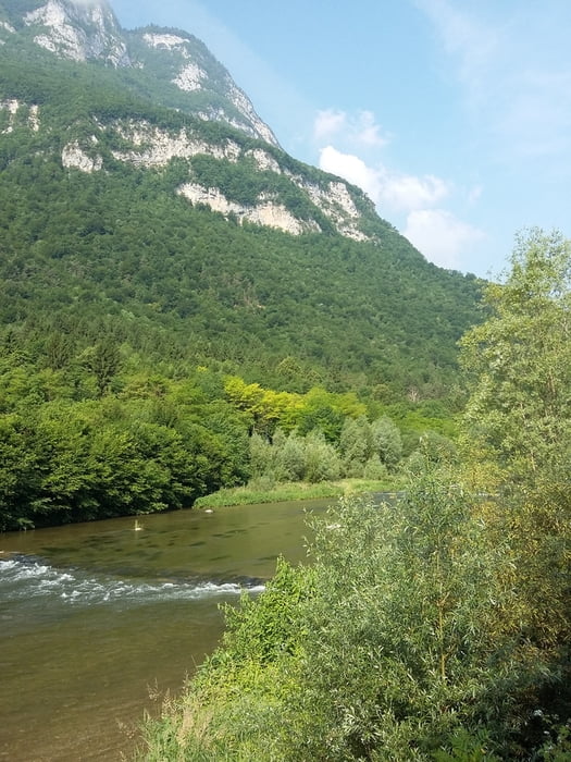
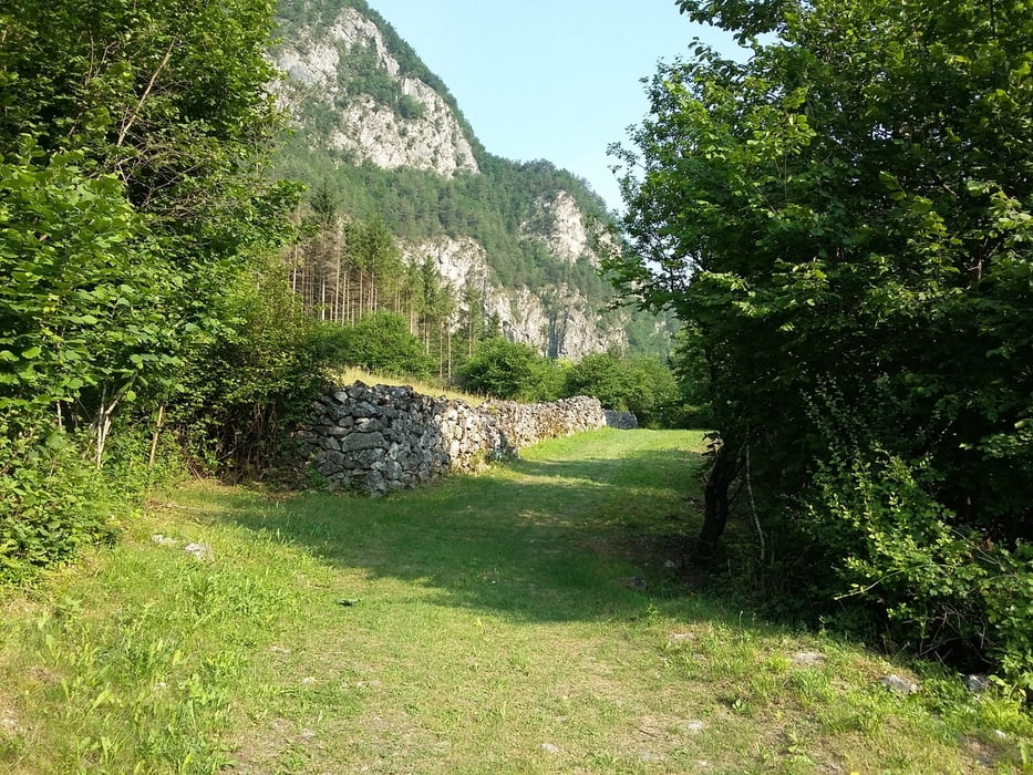
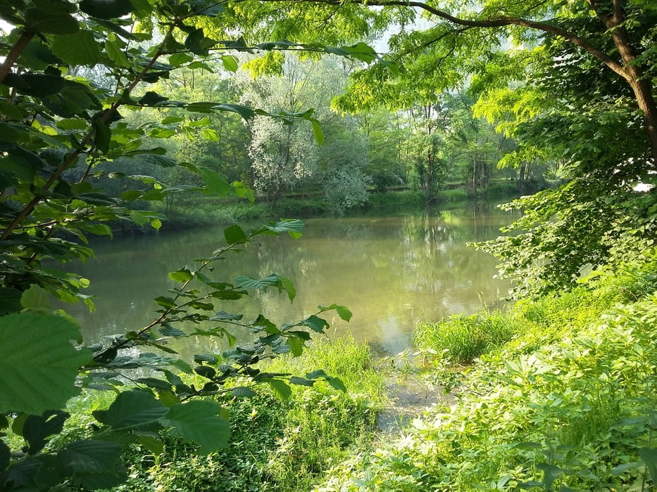
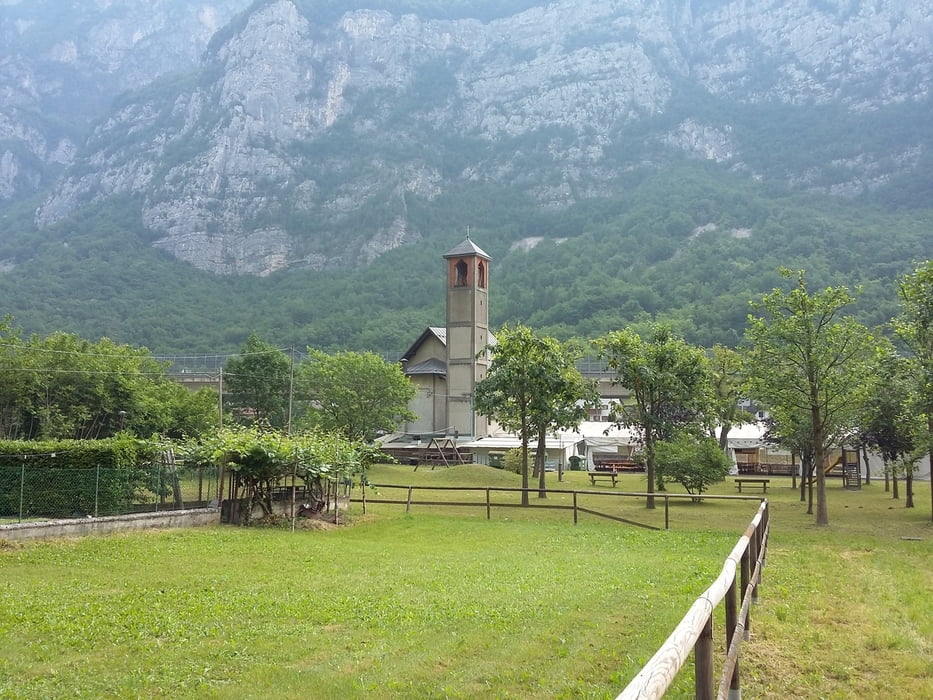
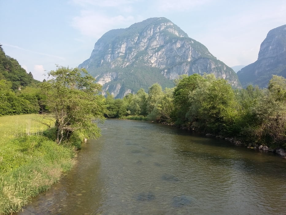
Facile marcia su un ottimo ambiente, piccola località sulla Valsugana con la catena del Lagorai da un lato e l'altopiano di Asiago sull'altro, sempre presente Il fiume Brenta.

Further information at

http://italia.indettaglio.it/ita/veneto/vicenza_enego_pianellodisotto.html

Tour gallery

Tour map and elevation profile

  • Open Street Map
  • Google
Minimum height 215 m Maximum height 296 m Detailed view

More about the tour author

agosflavio
Member since 2013

Send private message

Comments

GPS tracks

Trackpoints
  • GPX / Garmin Map Source (gpx) download
  • TCX / Garmin Training Center® (tcx) download
  • CRS / Garmin Training Center® (crs) download
  • Google Earth (kml) download
  • G7ToWin (g7t) download
  • TTQV (trk) download
  • Overlay (ovl) download
  • Fugawi (txt) download
  • Kompass (DAV) Track (tk) download
  • Track data sheet (pdf) download
  • Original file of the author (gpx) download

More about the tour author

agosflavio
Member since 2013

Send private message
Share track
Add to my favorites
Remove from my favorites
Edit tags
My score
Rate
Track: Su e do par el Masaron a Pianello di Enego (VI)
Type: Mountain hiking
Distance: 12,0 km
Evaluated on:
Duration:
Day(s)
Hour(s)
Minute(s)
Score: Landscape Fun factor Fitness Technique