


Von Homburg Schwarzenbach fuhr ich durch das schöne Blies- und Taubental nach Kirkel-Neuhäusel.
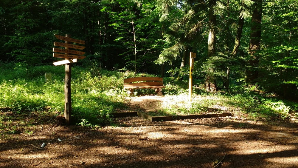
Am Abend radelte ich in das Kirkeler Tal das ich auf verschlungenen Pfaden nach Osten verließ um auf dem Kammweg nach Lautzkirchen zu fahren.
Im Tal der Blies fuhr ich zu meinem Ausgangspunkt zurück.
Am Abend radelte ich in das Kirkeler Tal das ich auf verschlungenen Pfaden nach Osten verließ um auf dem Kammweg nach Lautzkirchen zu fahren.
Im Tal der Blies fuhr ich zu meinem Ausgangspunkt zurück.
Further information at
https://de.wikipedia.org/wiki/Biosph%C3%A4renreservat_BliesgauTour gallery
Tour map and elevation profile
Minimum height 228 m
Maximum height 384 m
More about the tour author
|
|
Pheinz |
Comments

Start und Ziel in Homburg Schwarzenbach.
GPS tracks
Trackpoints-
GPX / Garmin Map Source (gpx) download
-
TCX / Garmin Training Center® (tcx) download
-
CRS / Garmin Training Center® (crs) download
-
Google Earth (kml) download
-
G7ToWin (g7t) download
-
TTQV (trk) download
-
Overlay (ovl) download
-
Fugawi (txt) download
-
Kompass (DAV) Track (tk) download
-
Track data sheet (pdf) download
-
Original file of the author (gpx) download
More about the tour author
|
|
Pheinz |
Add to my favorites
Remove from my favorites
Edit tags
Open track
My score
Rate