


Geplanter Hüttenausflug für den 09.09.2017.
Variante 1:
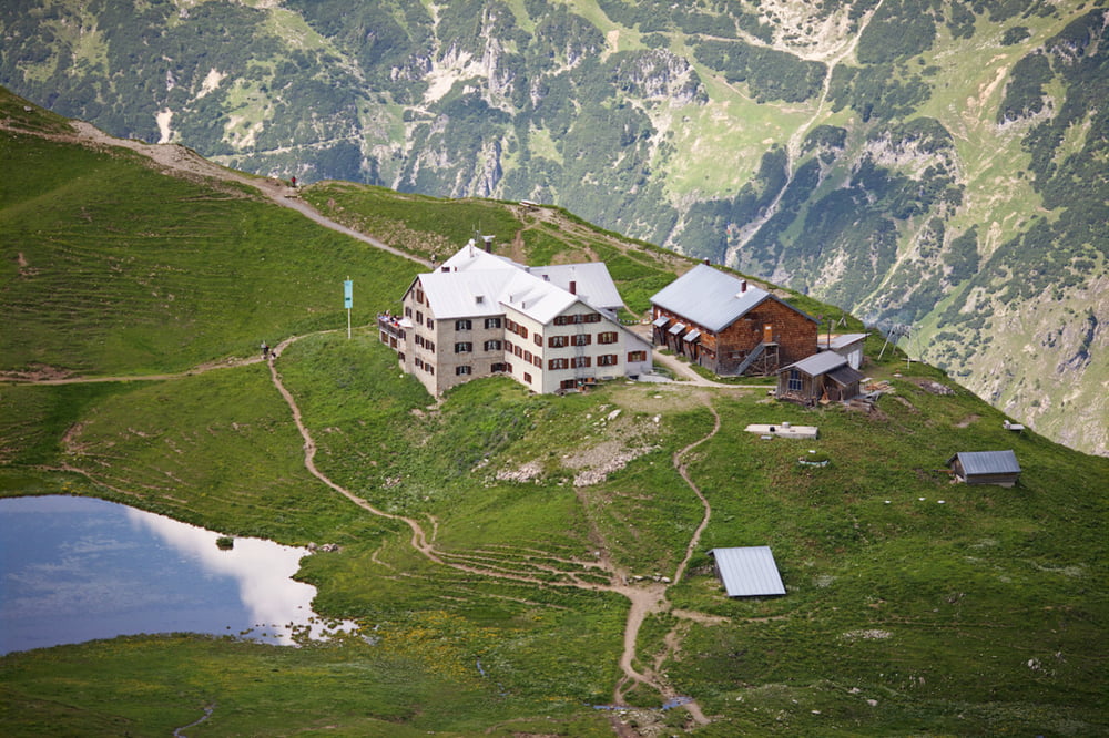
- Tag 1: Zustieg zur Rappenseehütte (ca. 6 KM), Übernachtung auf Rappenseehütte
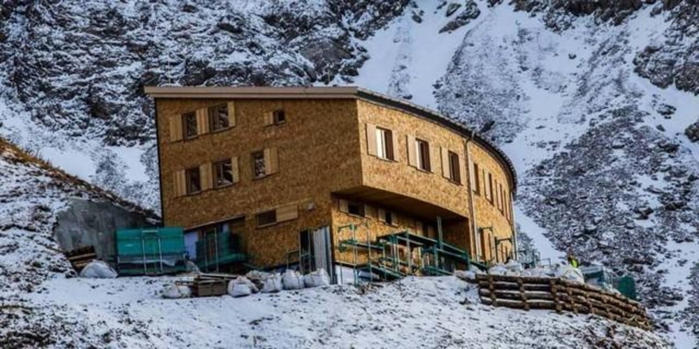
- Tag 2: Heilbronner Weg zum Waltenberger Haus und Abstieg nach Einödsbach (ca. 14KM)
Variante 2:
- Tag 1: Zustieg zur Rappenseehütte (ca. 3,5h), Heilbronner Höhenweg bis zum Waltenberger Haus (+ ca. 4 h), insgesamt ca. 14 KM), Übernachtung im Waltenberger Haus
- Tag 2: Waltenberger Haus und Abstieg nach Einödsbach (ca. 6 KM)
Tour gallery
Tour map and elevation profile
Minimum height 99999 m
Maximum height -99999 m
More about the tour author

|
mike23 |
Comments

https://www.oberstdorf.de/alpininfo/huetten/huettenanstiege/enzianhuette-rappenseehuette.html
Parken in Oberstdorf mit Bus nach Einödsbach oder Einödsbach direkt mit PKW falls möglich.
GPS tracks
Trackpoints-
GPX / Garmin Map Source (gpx) download
-
TCX / Garmin Training Center® (tcx) download
-
CRS / Garmin Training Center® (crs) download
-
Google Earth (kml) download
-
G7ToWin (g7t) download
-
TTQV (trk) download
-
Overlay (ovl) download
-
Fugawi (txt) download
-
Kompass (DAV) Track (tk) download
-
Track data sheet (pdf) download
-
Original file of the author (gpx) download
More about the tour author
|
|
mike23 |
Add to my favorites
Remove from my favorites
Edit tags
Open track
My score
Rate