


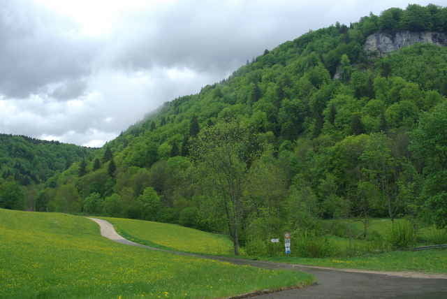
Diese Radlrunde beginnt in Tuttlingen an der Donau, steigt auf zur Albkante, folgt der Albkante von der Dreifaltigkeitskirche bis zum Sportflugplatz Klippeneck mit schöner Aussicht übers Neckartal auf den Schwarzwald mit Feldberg. Danach gehts durchs Lippachtal zurück zur Donau bei Mühlheim. Von hier folgt man dem Donauradweg bis zum Ausgangspunkt.
Tour gallery
Tour map and elevation profile
Minimum height 499 m
Maximum height 1004 m
More about the tour author

|
raapl |
Comments

"Tuttlingen, Zentrum" ins Navi eingeben und am Parkplatz bei der Holzbrücke parken.
GPS tracks
Trackpoints-
GPX / Garmin Map Source (gpx) download
-
TCX / Garmin Training Center® (tcx) download
-
CRS / Garmin Training Center® (crs) download
-
Google Earth (kml) download
-
G7ToWin (g7t) download
-
TTQV (trk) download
-
Overlay (ovl) download
-
Fugawi (txt) download
-
Kompass (DAV) Track (tk) download
-
Track data sheet (pdf) download
-
Original file of the author (gpx) download
More about the tour author
|
|
raapl |
Add to my favorites
Remove from my favorites
Edit tags
Open track
My score
Rate