


Hallo.
Beginn der Tour südliches Hamburg / Harburg / Sinstorf
über Maschen - Heide, Ohlendorf, Thieshope, Egesdorf,
Undeloh, Welle , Tostedt, Hollensteht, Grauen und Rosengarten.
Beginn der Tour südliches Hamburg / Harburg / Sinstorf
über Maschen - Heide, Ohlendorf, Thieshope, Egesdorf,
Undeloh, Welle , Tostedt, Hollensteht, Grauen und Rosengarten.
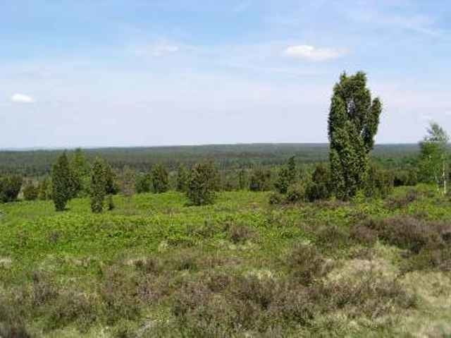
Tour gallery
Tour map and elevation profile
Minimum height 6 m
Maximum height 125 m
More about the tour author
|
|
julianernst |
Comments
Von Hamburg aus B4. Bis zur Kreuzung Baumarkt
GPS tracks
Trackpoints-
GPX / Garmin Map Source (gpx) download
-
TCX / Garmin Training Center® (tcx) download
-
CRS / Garmin Training Center® (crs) download
-
Google Earth (kml) download
-
G7ToWin (g7t) download
-
TTQV (trk) download
-
Overlay (ovl) download
-
Fugawi (txt) download
-
Kompass (DAV) Track (tk) download
-
Track data sheet (pdf) download
-
Original file of the author (gpx) download
More about the tour author
|
|
julianernst |
Add to my favorites
Remove from my favorites
Edit tags
Open track
My score
Rate
Wie kann ich Dir helfen ? Bei mir geht es sehr gut
mit dem laden.
Gruss Julianernst
Sehr schöne Tour
Die Tour lässt sich, wenn man von/Nach Finkenwerder und ins Alte Land will, auch gut ab Grauen mit der Streck der RTF Elbe Classic kombinieren bzw. ergänzen.