Login

Forgot your login?

Cookies have to be accepted!
Your browser's cookie functionality is disabled. Please enable this functionality.

Not a member yet?

Register now
Login

Available for registred users only

Log in to use this feature.

Forgot your login?

Cookies have to be accepted!
Your browser's cookie functionality is disabled. Please enable this functionality.

Not a member yet?

Register now
Filter
Categories
Advanced filters
  • Distance (km)
  • Height
Save filters Reset filter

TrackRank

QRCode

Technical data

Distance68,9 km Height1709 m Way down1704 m Duration00:06 h:m Date24.06.2017
Scores Author Landscape Fun factor Fitness Technique

Statistics

263 Views Scores 63 Downloads Average
Rate
  • Track data sheet
  • Directions
  • Downloads


Habe Tour #47004: vtt soultz sous forets 13 septembre 65 km von Jürgen Zoz erweitert und insbesondere nicht mehr fahrbare Bereiche korrigiert. Start ist nun unterhalb des Col de Pigeonnier. VieleTrails sind sogar hinzugekommen. Alles ist gut fahrbar und max. S2. Aber: Ein langer Ausflug mit sehr vielen bockeligen Höhenmeter. Eine starke Herausforderung mit tollem Erfolgserlebnis.
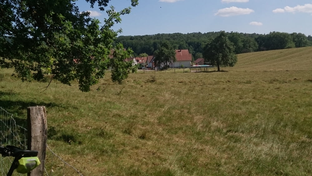
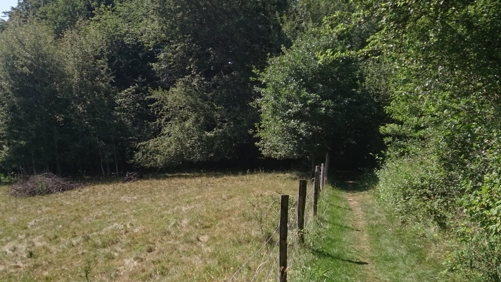
Tour gallery

Tour map and elevation profile

  • Open Street Map
  • Google
Minimum height 125 m Maximum height 511 m Detailed view

More about the tour author

Zaphod_Beeblebrox
Member since 2008

Send private message

Comments

GPS tracks

Trackpoints
  • GPX / Garmin Map Source (gpx) download
  • TCX / Garmin Training Center® (tcx) download
  • CRS / Garmin Training Center® (crs) download
  • Google Earth (kml) download
  • G7ToWin (g7t) download
  • TTQV (trk) download
  • Overlay (ovl) download
  • Fugawi (txt) download
  • Kompass (DAV) Track (tk) download
  • Track data sheet (pdf) download
  • Original file of the author (gpx) download

More about the tour author

Zaphod_Beeblebrox
Member since 2008

Send private message
Share track
Add to my favorites
Remove from my favorites
Edit tags
My score
Rate
Track: vtt soultz sous forets 70 km
Type: Mountain bike
Distance: 68,9 km
Evaluated on:
Duration:
Day(s)
Hour(s)
Minute(s)
Score: Landscape Fun factor Fitness Technique