


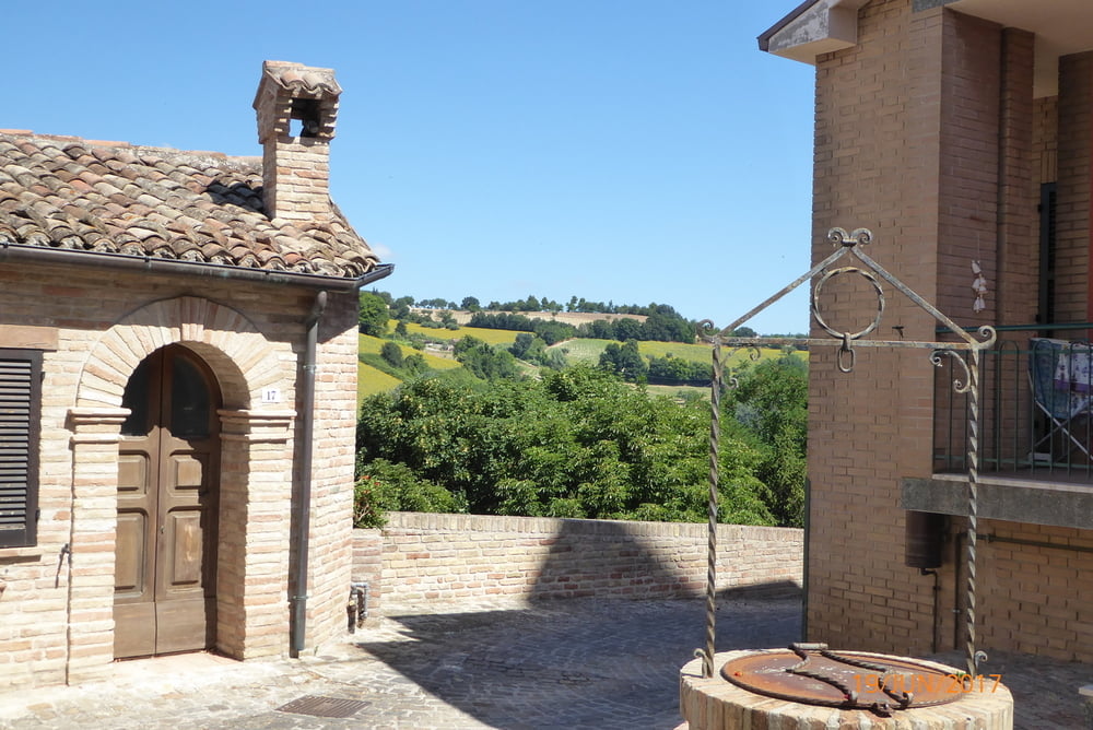
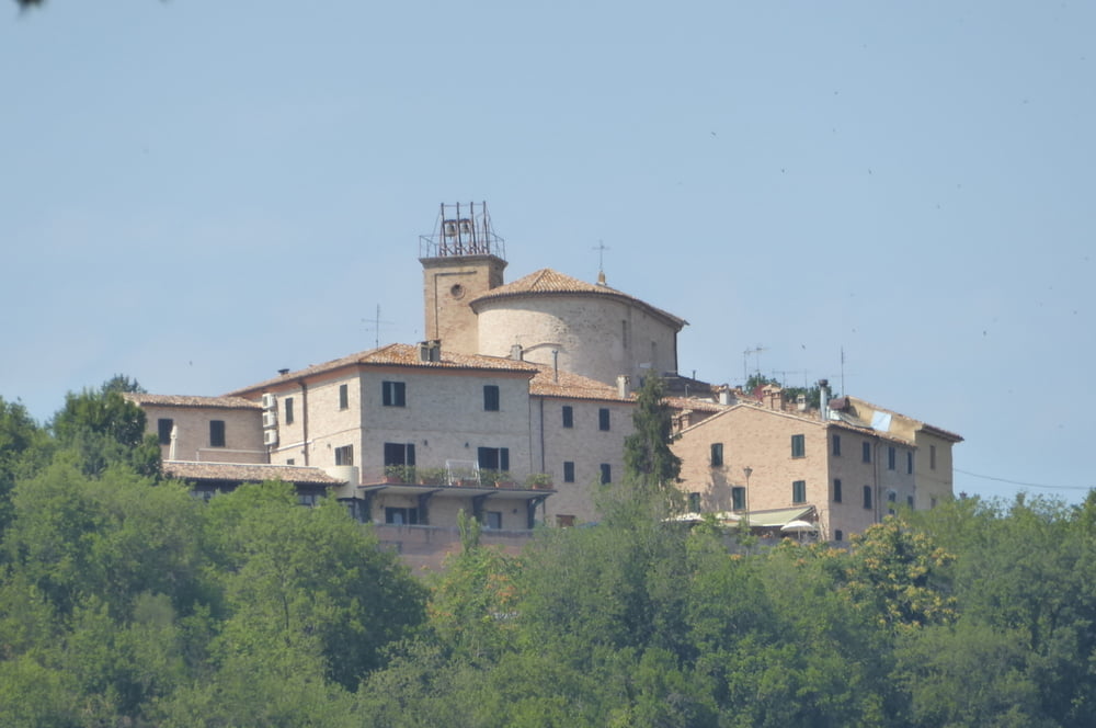
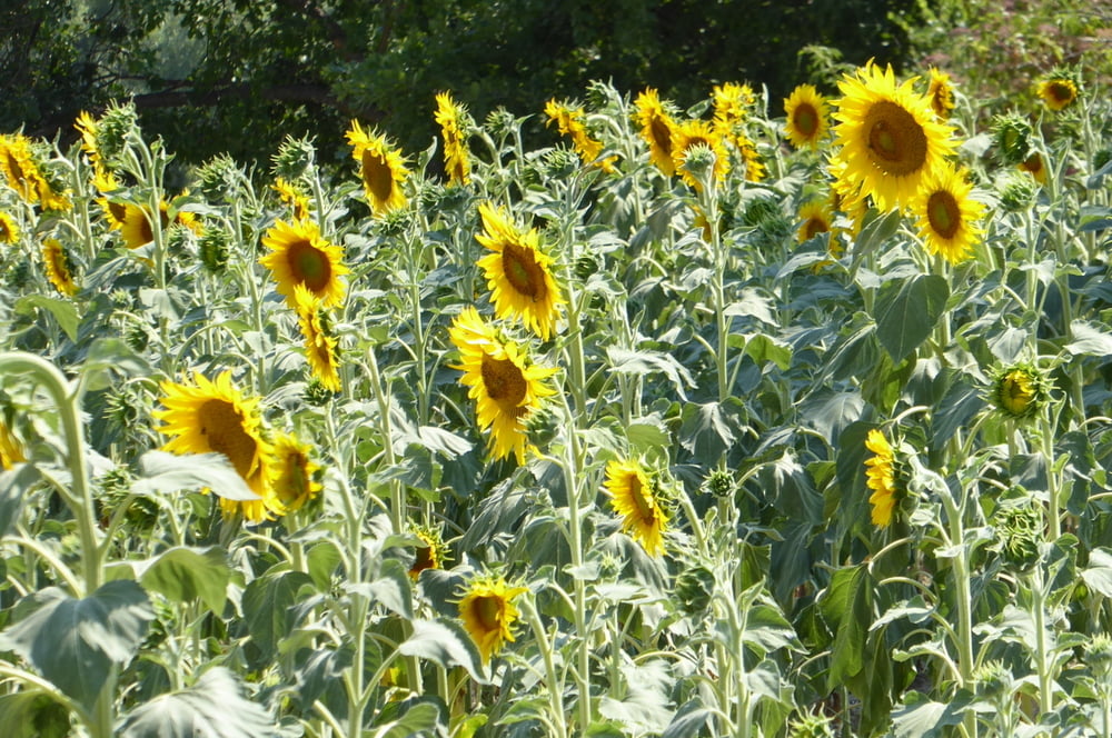
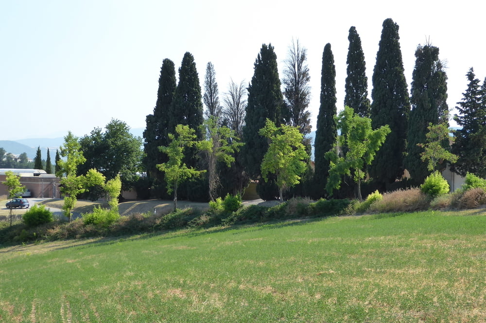
Von dem winzigen Dörf auf einem Hügel mit herrlichem Blick auf die Landschaft der Marken machen wir eine Rundwanderung durch die liebliche Landschaft.
Einkehrmöglichkeit: Antica Osteria da Gustin
http://www.dagustin.it/osteria-bargni-cartoceto/
Further information at
https://www.google.de/search?q=Bargni&rlz=1C1CHZL_deDE721DE721&source=lnms&tbm=isch&sa=X&ved=0ahUKEwiKkMSJ--PUAhVDXBQKHY9fCUQ4ChD8BQgHKAI&biw=1384&bih=645Tour gallery
Tour map and elevation profile
Minimum height 103 m
Maximum height 271 m
More about the tour author
|
|
horst1508 |
Comments

GPS tracks
Trackpoints-
GPX / Garmin Map Source (gpx) download
-
TCX / Garmin Training Center® (tcx) download
-
CRS / Garmin Training Center® (crs) download
-
Google Earth (kml) download
-
G7ToWin (g7t) download
-
TTQV (trk) download
-
Overlay (ovl) download
-
Fugawi (txt) download
-
Kompass (DAV) Track (tk) download
-
Track data sheet (pdf) download
-
Original file of the author (gpx) download
More about the tour author
|
|
horst1508 |
Add to my favorites
Remove from my favorites
Edit tags
Open track
My score
Rate