


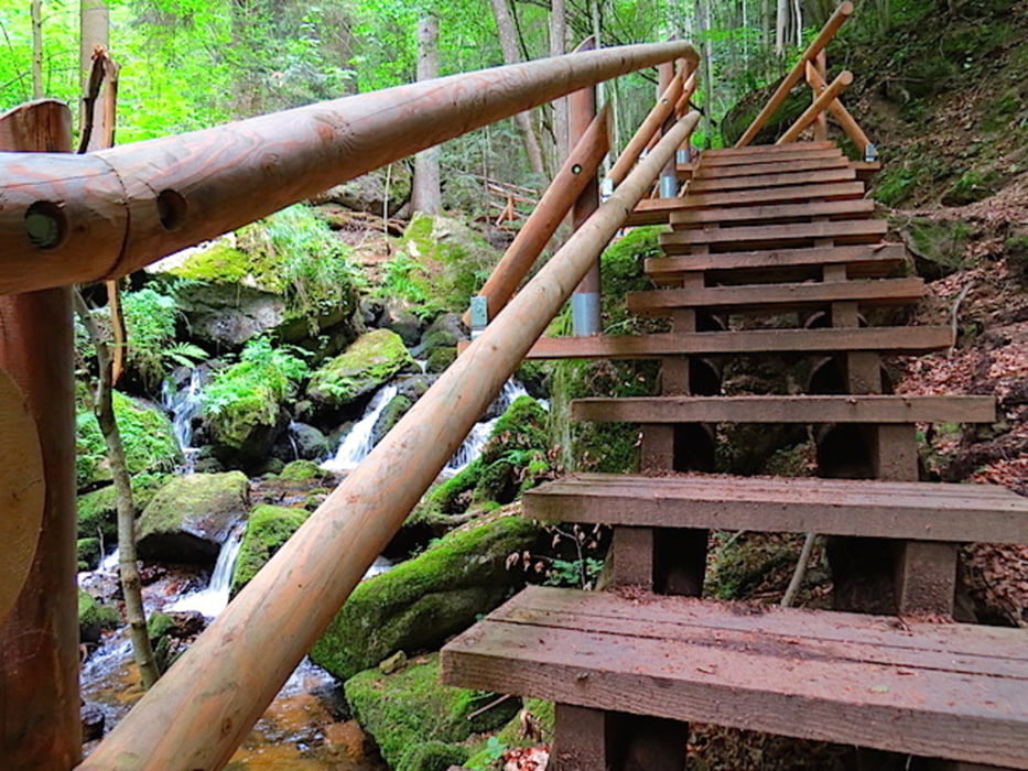
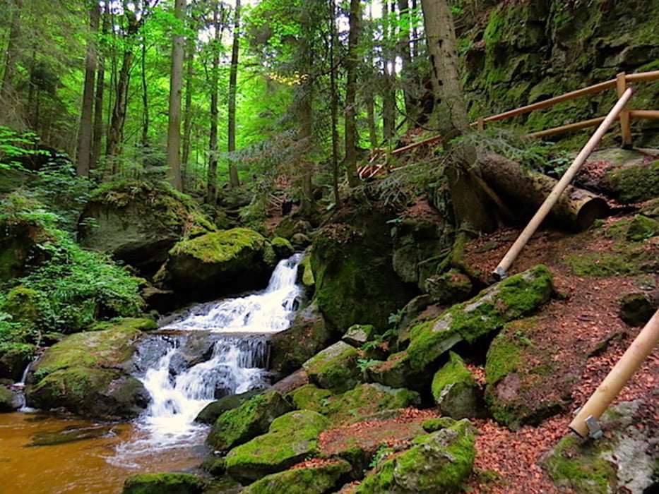
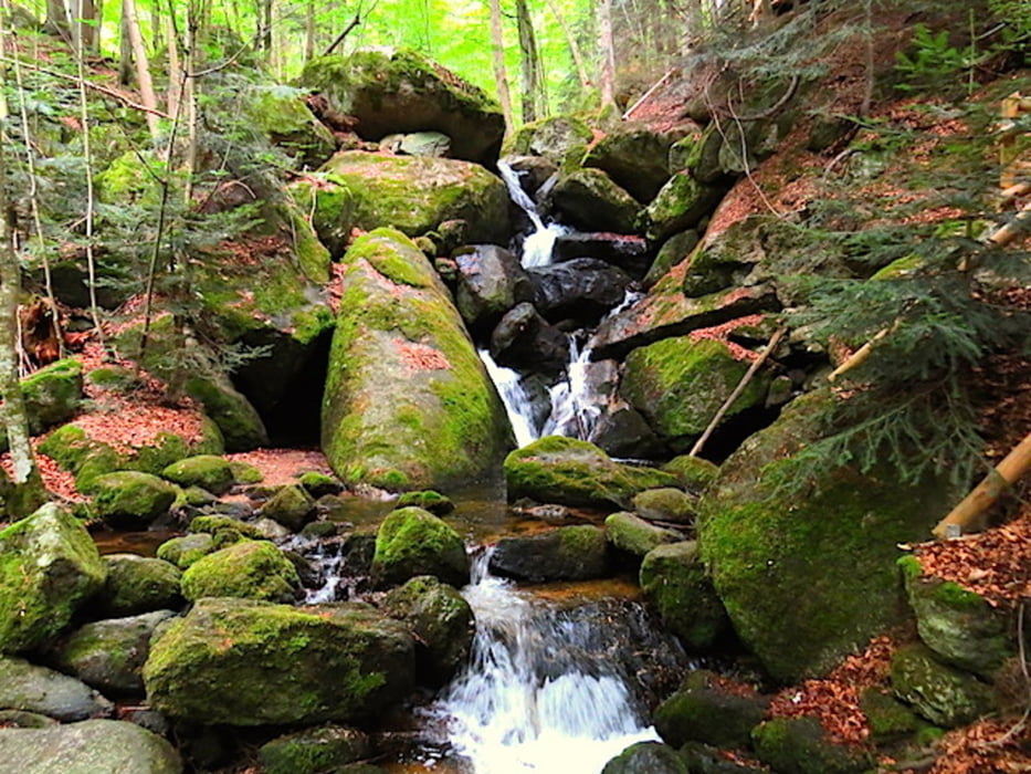
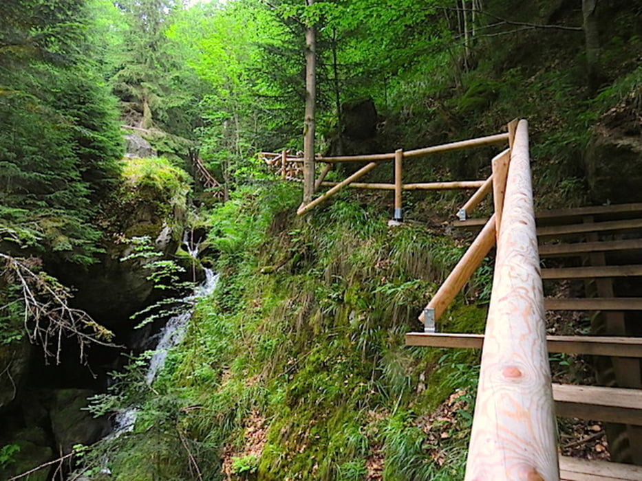
Die Große Ysper entspringt nordöstlich vom Weinsberg (1041 m) im Hummelberg genannten Teil des Weinsberger Waldes am Brand (1030 m) in 980 m Höhe. In südlicher Richtung durchfließt sie die Ysperklamm und die Gemeinden Yspertal, St. Oswald im Yspertal, Nöchling und Hofamt Priel. Östlich liegt der Ostrong (1060 m). Sie mündet heute in den Donau-Stausee des Kraftwerks Ybbs-Persenbeug. Wir begehen nun den wilden Teil des Flusslaufes, die Ysperklamm.
Streckencharakteristik: 15% Asphalt, 85% Wald- und Schotterwege samt Aufstiegshilfen
Mehr Info und Deine Meinung in meinem Wanderblog - schau doch mal vorbei!
Karten:
- Austria Map Ost (BEV)
- freytag & berndt 1:25.000, 4322 - West, Gutenbrunn
Further information at
http://www.zwalk.at/Tour gallery
Tour map and elevation profile
Minimum height 507 m
Maximum height 817 m
More about the tour author
|
|
Jonny |
Comments

Per Auto
- nördlich Zwettl Richtung Ottenschlag, Würnsdorf, Laimbach, Kammerbach rechts Ysperklamm
- östlich ab Krems, Emmersdorf, Pöggstall, Laimbach, Kammerbach rechts Ysperklamm
- südlich Westautobahn A1 Abfahrt Ybbs, Persenbeug, Kammerbach links Ysperklamm
GPS tracks
Trackpoints-
GPX / Garmin Map Source (gpx) download
-
TCX / Garmin Training Center® (tcx) download
-
CRS / Garmin Training Center® (crs) download
-
Google Earth (kml) download
-
G7ToWin (g7t) download
-
TTQV (trk) download
-
Overlay (ovl) download
-
Fugawi (txt) download
-
Kompass (DAV) Track (tk) download
-
Track data sheet (pdf) download
-
Original file of the author (gpx) download
More about the tour author
|
|
Jonny |
Add to my favorites
Remove from my favorites
Edit tags
Open track
My score
Rate