Login

Forgot your login?

Cookies have to be accepted!
Your browser's cookie functionality is disabled. Please enable this functionality.

Not a member yet?

Register now
Login

Available for registred users only

Log in to use this feature.

Forgot your login?

Cookies have to be accepted!
Your browser's cookie functionality is disabled. Please enable this functionality.

Not a member yet?

Register now
Filter
Categories
Advanced filters
  • Distance (km)
  • Height
Save filters Reset filter

TrackRank

QRCode

Technical data

Distance39,2 km Height689 m Way down623 m Duration02:09 h:m Date06.07.2017
Scores Author Landscape Fun factor Fitness Technique

Statistics

209 Views Scores 14 Downloads Average
Rate
  • Track data sheet
  • Directions
  • Downloads
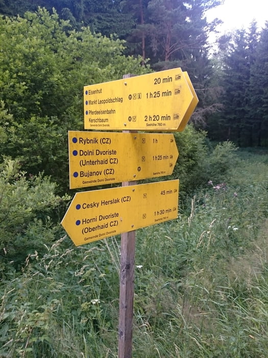
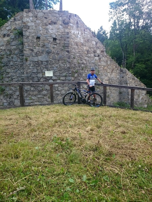
"Testrunde" mit dem neuen X-Vert e-power von Corratec. Ohne spezielle Planung wurde es eine interessante Tour, die am Besten bei geschnittenen Wiesen zu fahren ist.

Tour gallery

Tour map and elevation profile

  • Open Street Map
  • Google
Minimum height 511 m Maximum height 778 m Detailed view

More about the tour author

rjkas
Member since 2003

Send private message

Comments

GPS tracks

Trackpoints
  • GPX / Garmin Map Source (gpx) download
  • TCX / Garmin Training Center® (tcx) download
  • CRS / Garmin Training Center® (crs) download
  • Google Earth (kml) download
  • G7ToWin (g7t) download
  • TTQV (trk) download
  • Overlay (ovl) download
  • Fugawi (txt) download
  • Kompass (DAV) Track (tk) download
  • Track data sheet (pdf) download
  • Original file of the author (tcx) download

More about the tour author

rjkas
Member since 2003

Send private message
Share track
Add to my favorites
Remove from my favorites
Edit tags
My score
Rate
Track: FR-Rainbach-Kerschb.-Eisenhut-Pferdebahnbrücke(Cz) > e-mtb
Type: Mountain bike
Distance: 39,2 km
Evaluated on:
Duration:
Day(s)
Hour(s)
Minute(s)
Score: Landscape Fun factor Fitness Technique