


- Rundkurs gegen den Uhrzeigersinn.
- Start/Ziel: Malosco(Parkplatz) - Fondo/Nonstal.
- Von Malosco/Fondo MH 1.062 auf dem Radweg nach Cavareno KM 3,6 (Cafe/Bäckerei "Borzaga" - Kirchplatz, Frühstück: 2xCappuccino 2xHausgebäck=4,80€.). Reisekasse kaum belastet!!!.
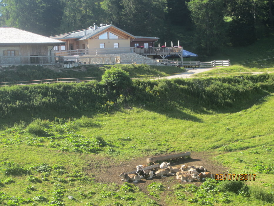
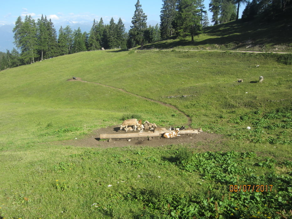
- Weiter nach Amblar. Beginn angenehmer Anstieg auf Asfalt, später auf Schotter(mittelsteil) bis zur " Malga Romeno"(bewirtschaftet) KM 15,8 - MH 1.750.
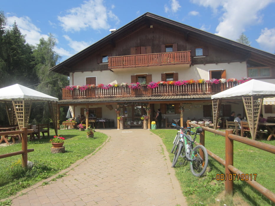
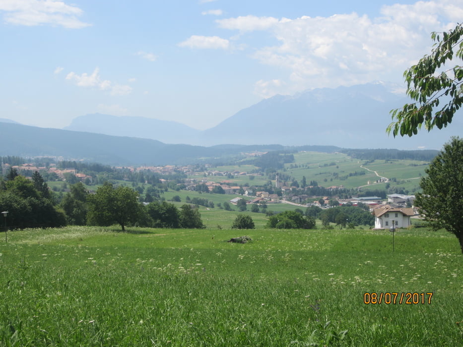
- Abfahrt auf Forstweg, vorbei am Rifugio "Mezzavia" (bewirtschaftet) KM 18,9 - MH1.580 bis zum Mendelpass KM 23,4 - MH 1.360. Es folgt ein knackiger Anstig auf Asfalt bis zum Hotel "Penegal" KM 27,2 - MH 1.730. Herrlicher Panoramablick auf Bozen und Überetsch.
- Ab KM 28,1 - MH 1.711 beginnt der Steig ( S1-S2 , kurze Schiebepassagen) bis KM 31,9 - MH 1.550.
- Weiter auf Forstweg bis zum Rifugio "Regole" KM 36,6 - MH 1.340 (bewirtschaftet).
- Weiter auf Asfalt zurück zum Ausgangspunkt nach Malosco/Fondo KM 40,6 - MH 1.062.
Further information at
http://www.visitvaldinon.itTour gallery

Tour map and elevation profile
Minimum height 884 m
Maximum height 1767 m
More about the tour author
|
|
MargesinFriedrich |
Comments

GPS tracks
Trackpoints-
GPX / Garmin Map Source (gpx) download
-
TCX / Garmin Training Center® (tcx) download
-
CRS / Garmin Training Center® (crs) download
-
Google Earth (kml) download
-
G7ToWin (g7t) download
-
TTQV (trk) download
-
Overlay (ovl) download
-
Fugawi (txt) download
-
Kompass (DAV) Track (tk) download
-
Track data sheet (pdf) download
-
Original file of the author (gpx) download
More about the tour author
|
|
MargesinFriedrich |
Add to my favorites
Remove from my favorites
Edit tags
Open track
My score
Rate