

Gesamte Gehzeit beträgt 10 Stunden, ist an einem Tag machbar, aber viel angenehmer in zwei Tage durchführen und mit längerem Baden in Vilsalpsee kombinieren.
Tour map and elevation profile
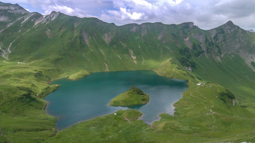
Minimum height 849 m
Maximum height 1972 m
More about the tour author
|
|
omir |
Comments

DB bis Sonthofen, danach Bus 48 bis Bad Hindelang, danach Bus 49 bis Hinterstein, Hotel Grüne Hut
Auf dem Rückweg kann man direkt vom Vilsalpsee mit dem Bus nach Reutte fahren, es wird eine Stunde Dauer reduzieren. Der Weg von Vilsalpsee bis Tannheim ist ziemlich angenehm, also wenn kein Zeitmangel besteht, am besten den Track komplett gehen.
GPS tracks
Trackpoints-
GPX / Garmin Map Source (gpx) download
-
TCX / Garmin Training Center® (tcx) download
-
CRS / Garmin Training Center® (crs) download
-
Google Earth (kml) download
-
G7ToWin (g7t) download
-
TTQV (trk) download
-
Overlay (ovl) download
-
Fugawi (txt) download
-
Kompass (DAV) Track (tk) download
-
Track data sheet (pdf) download
-
Original file of the author (gpx) download
More about the tour author
|
|
omir |
Add to my favorites
Remove from my favorites
Edit tags
Open track
My score
Rate